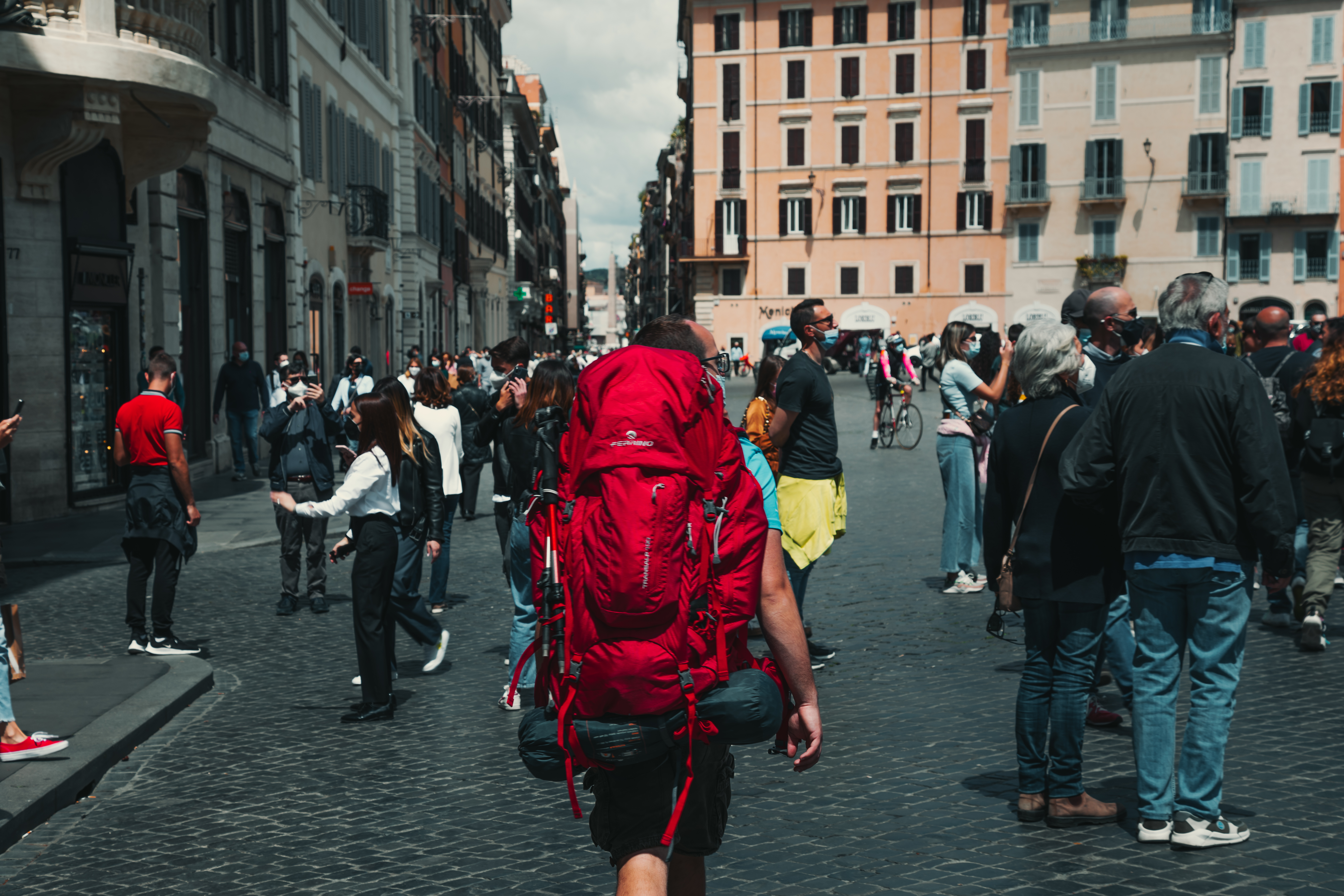
Our stages
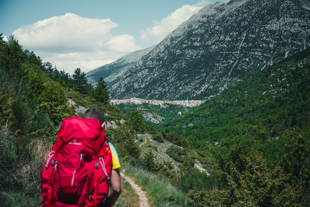
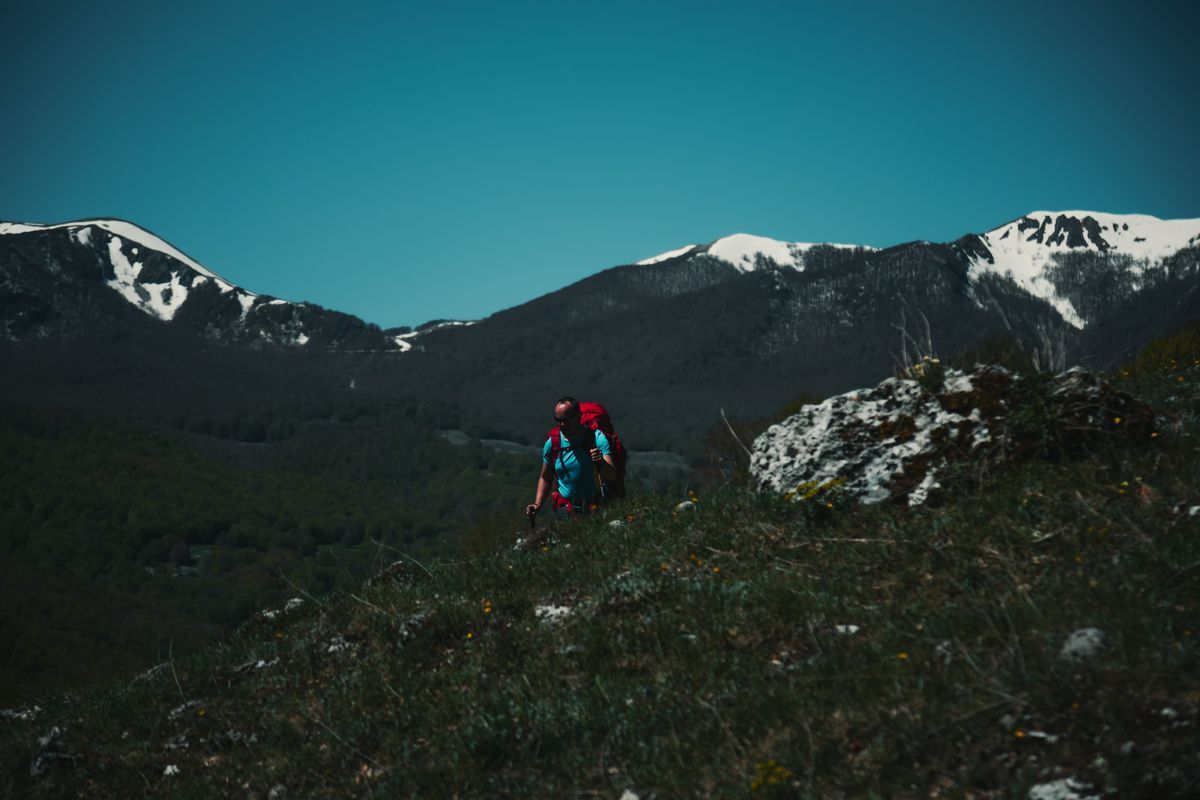
Pescasseroli – Barrea
Length: 23.65 km
Difficulty: E
Difference in altitude: 256 m
Signage: white and red stamps
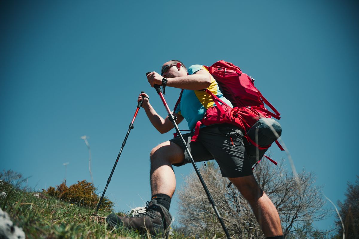
A long stage, but with a small difference in altitude, which runs along the bottom of the Val di Sangro until reaching Lake Barrea. After leaving the center of Pescasseroli, the itinerary continues in a south-east direction, initially on an asphalt road. You will soon find yourself at a crossroads, where you keep left and continue along the dirt road (signposted E2, SI). We walk along an ancient sheep track, once used by shepherds who carried out the spring and autumn transhumance between the mountain pastures of Abruzzo and the Tavoliere delle Puglie.
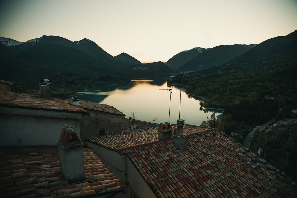
After a slight climb the path descends again and reaches the Strada Statale 83, to be followed for a stretch until passing the town of Opi. At the first crossroads beyond the center of the town, leave it to take the path on the right. Once we reach the southern slopes of Monte Marsicano we find ourselves again on the Statale, which we follow for a long stretch towards the east, up to the foot of Monte Mattone. At the height of a bridge on the right we start to follow Via Camosciara on a slight and constant climb. After several kilometers pay attention to the entrance of the path, on the left, which heads towards Civitella Alfedena, a magnificent balcony overlooking Lake Barrea. After crossing the center of the town in a few minutes you reach the body of water, which you skirt on its southern side until you reach the town of Barrea of the same name which overlooks the eastern shore of the basin.
For the return
From Barrea there are convenient bus connections that allow you to reach Avezzano in about two hours and thirty minutes, from where you can return to Rome thanks to regional trains.