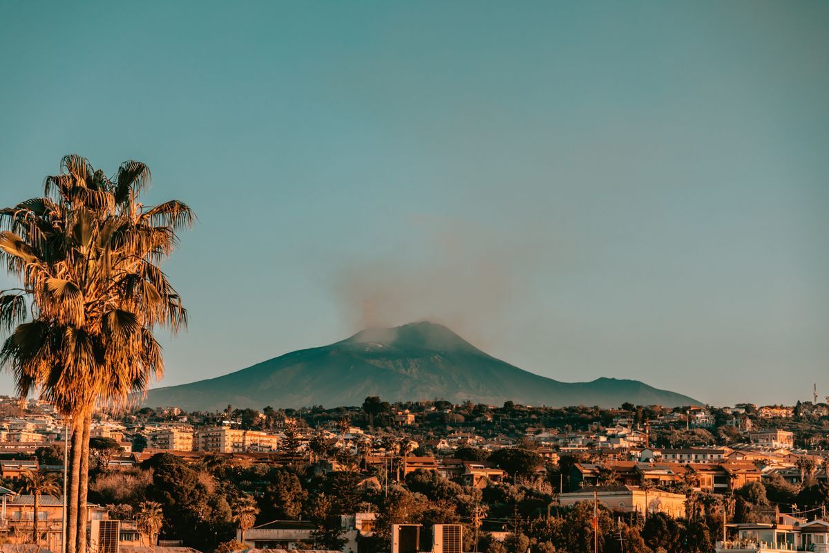
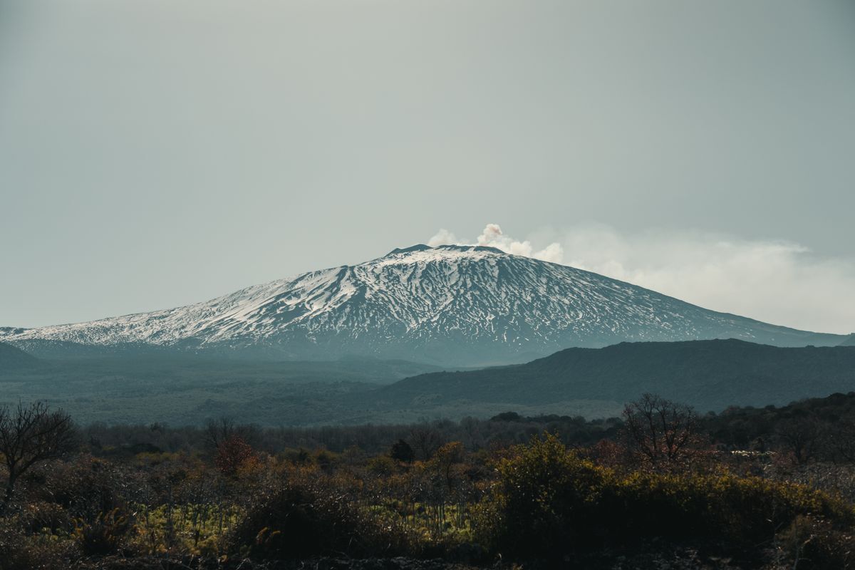
“Linea 7000” is a project that aims to show how our mountains and trails are easily accessible using public transport. The project, born from an idea by Gian Luca Gasca, promoted by the Italian Alpine Club and supported by Ferrino, focuses on the Sentiero Italia CAI route, the longest trek in the world that crosses the Alps, the Apennines and also the mountains of the two largest islands. A long itinerary that can become an opportunity for a conscious and low environmental impact discovery of our country. The first episode of Gian Luca's journey takes us to the highest volcano in Europe, Etna. Let's find out together how to reach the trails with public transport.
Reaching Etna
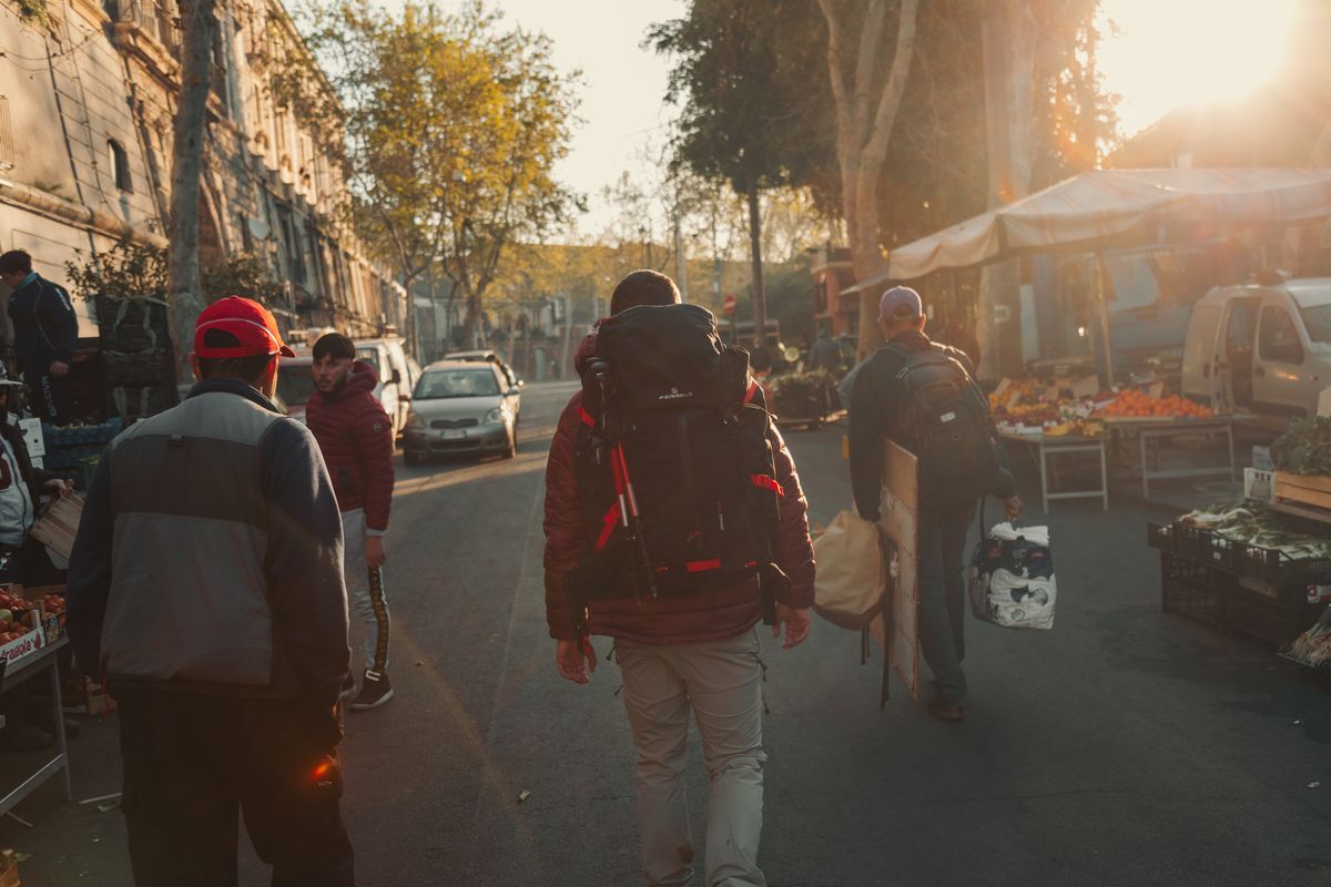
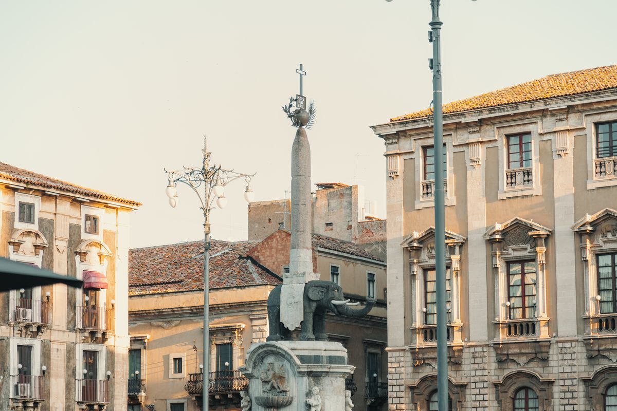
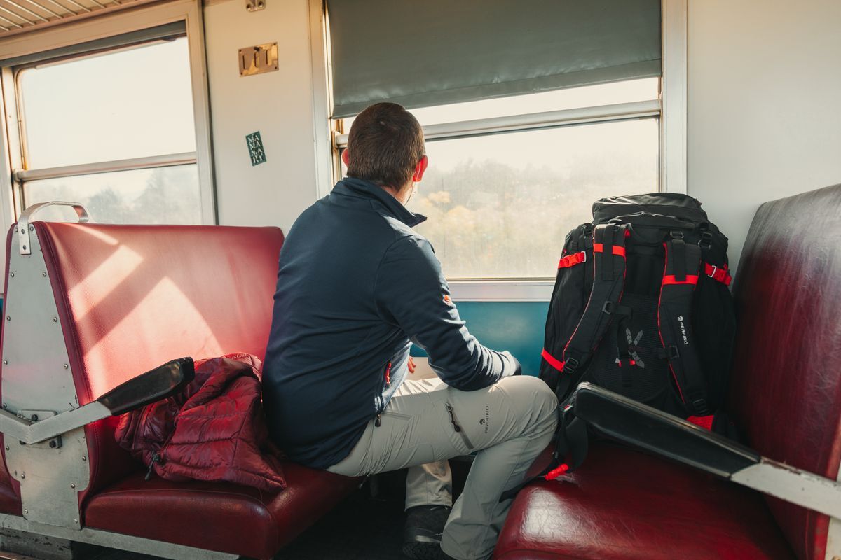
From Rome there are daily trains that reach Catania, a town at the foot of Etna. The time taken varies from 9 to 11 hours. Alternatively, you can fly directly to Catania, or Palermo. From the latter you can reach Catania through frequent regional trains.
Towards the paths
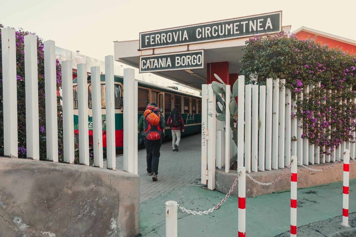
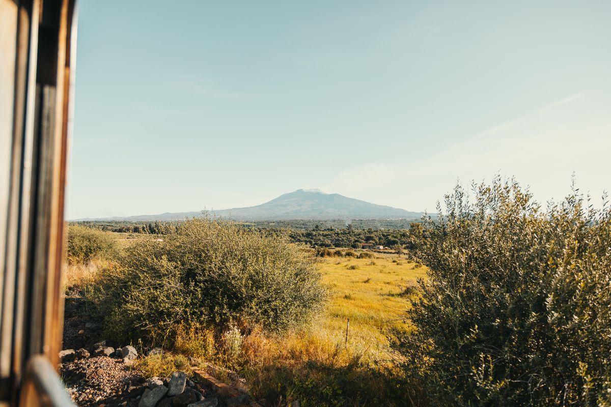
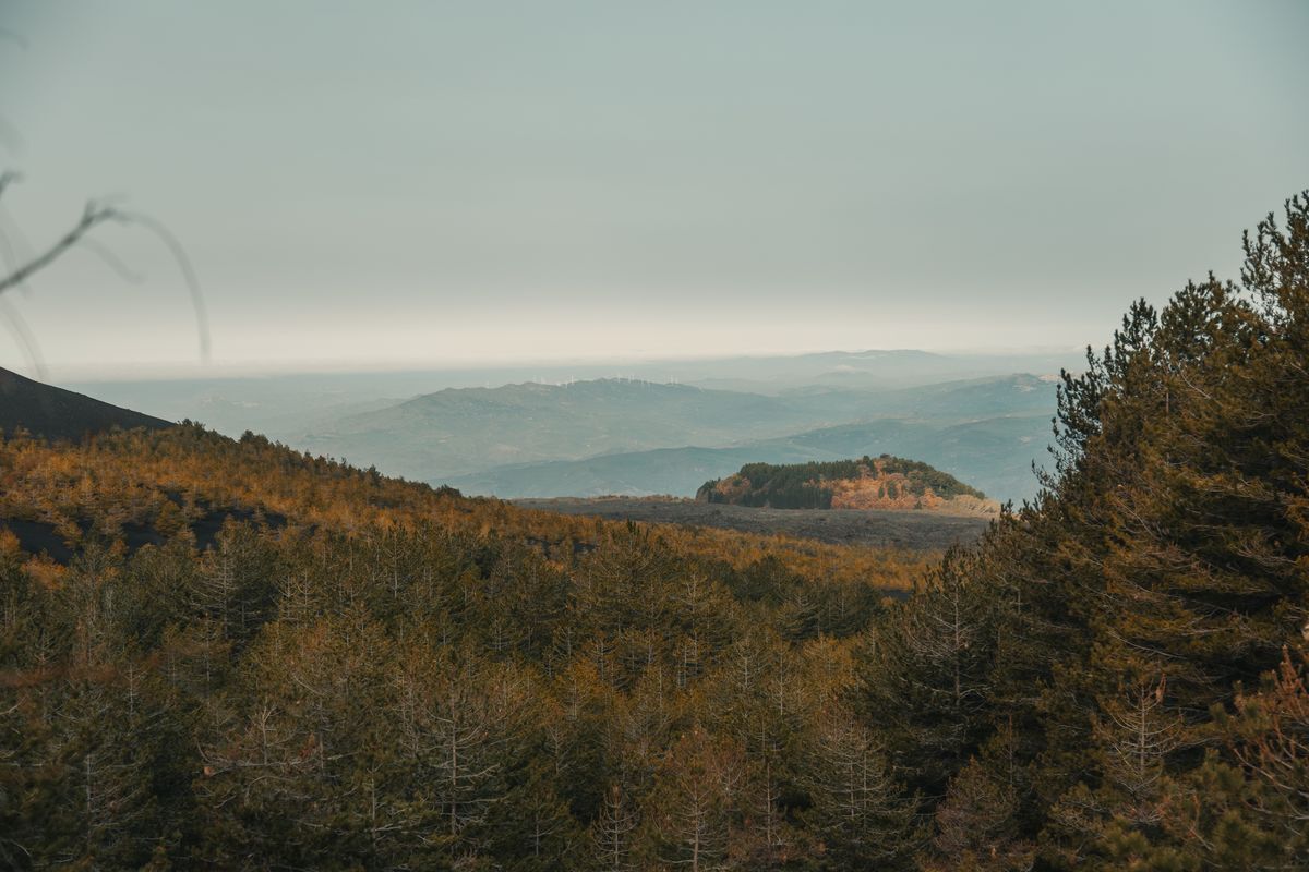
There are several options for reaching the Etna trails using public transport. The Circumetnea Railway departs from the centre of Catania and reaches Randazzo in just over two hours, with your eyes glued to the window, watching Etna on one side and the pistachio plantations on the other, stretching out to the plain interrupted on the horizon by the gentle slopes of the Nebrodi and Madonie.
Alternatively, you can reach the Etna trails by bus. The first one leaves from Piazza Giovanni XXIII at 8:15 and reaches the Sapienza refuge at 10:15, leaving plenty of time for an excursion on the volcano, or along the Trail. For the return, a ride leaves from the Sapienza refuge at 16:30.
The second option is to take a bus to Zafferana Etnea, on the south-eastern side of the volcano. From this beautiful village, in just a few steps, you can reach the Sentiero Italia CAI in the section that crosses the Valle del Bove, a large lunar-looking basin on the eastern side of Etna. Buses run frequently, from 7 am to 8:30 pm, and the route takes about an hour. The same goes for the return journey.
Our stages
Randazzo – Monte Scavo Forest Bivouac
Length: 15.4 km
Difficulty: E
Difference in altitude 944 m
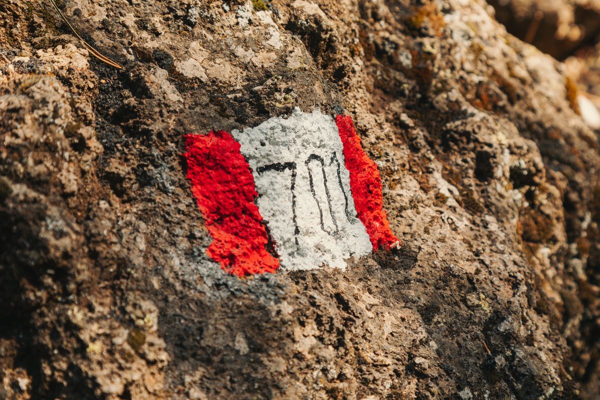
Signage: white and red stamps marked “YES”
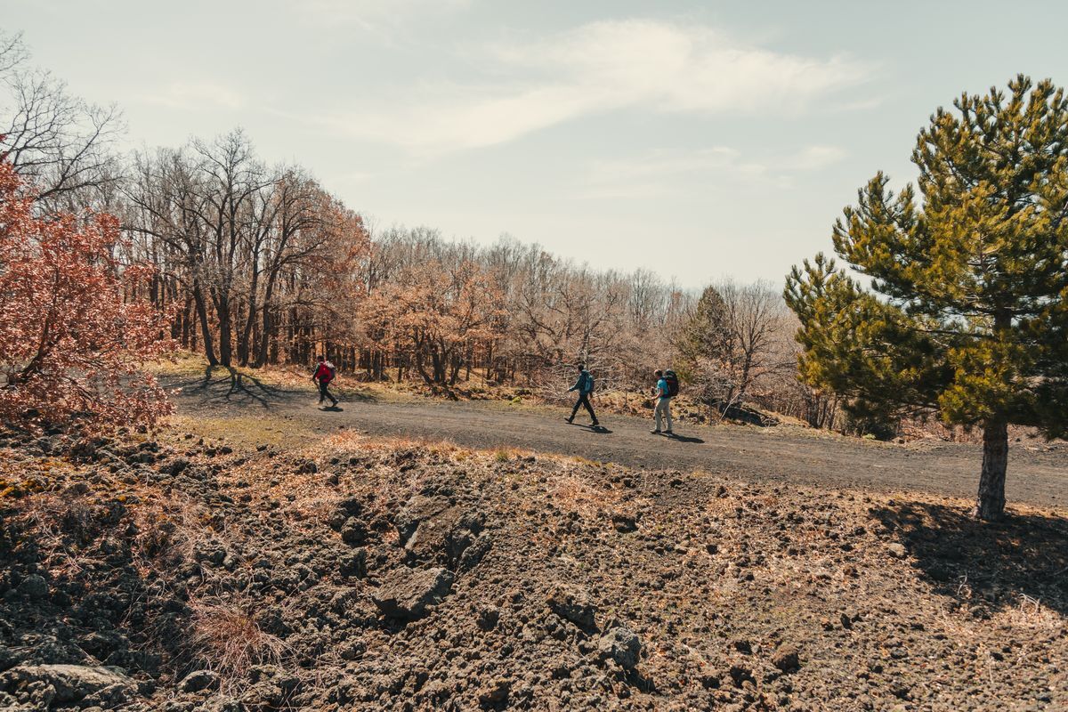
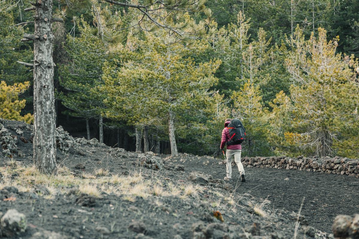
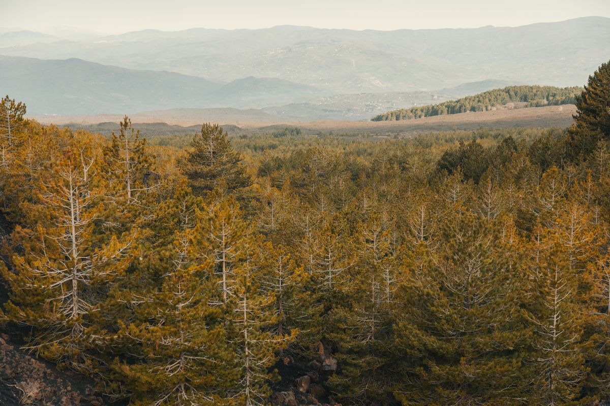
After crossing the center of Randazzo, which is worth a visit, the Sentiero Italia CAI begins to follow in a southerly direction. The first kilometers are on asphalt, but they still allow you to enjoy the unique territory offered by the slopes of the highest European volcano. Its fertile slopes have allowed the development of a flourishing agriculture and the well-kept plots of land are the backdrop to the first steps.
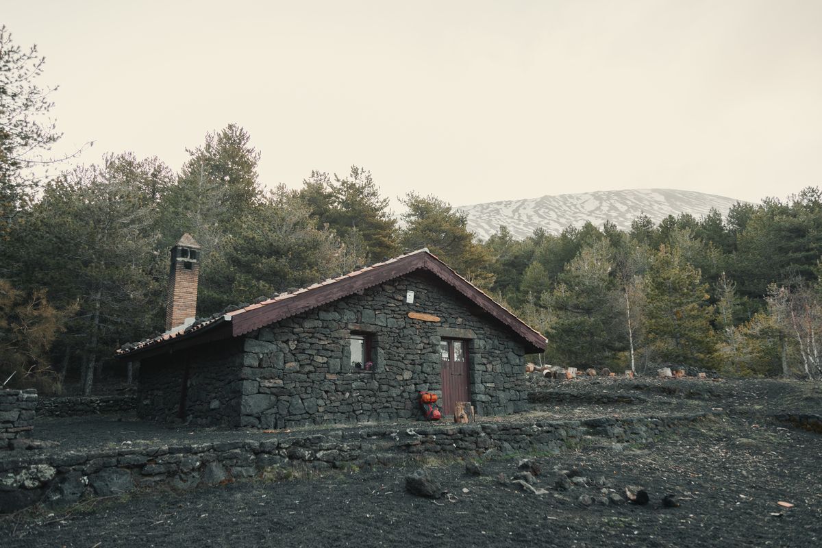
Following the asphalt road you soon reach a fork with path no. 716A, which you ignore by keeping left and continuing along path no. 716. Here you leave the asphalt and start walking on the dirt farm road. The sensation is immediately strange because instead of earth you move on the noisy lava ash produced by the numerous paroxysms that affect Etna. From here the path climbs slightly to the slopes of Monte Spagnolo which you pass to reach the junction with the Pista Altomontana (Path no. 701) which you follow to the right. From here the itinerary continues calmly, with slight ups and downs that lead to Bivacco Forestale di Monte Scavo. The structure is not managed but always open, the bivouac is very spacious and has a fireplace. There is plenty of wood nearby to warm up during the night.
Monte Scavo Forest Bivouac – Sapienza Refuge
Length: 14.3 km
Difficulty: E
Difference in altitude 386 m
Signage: white and red stamps marked “YES”
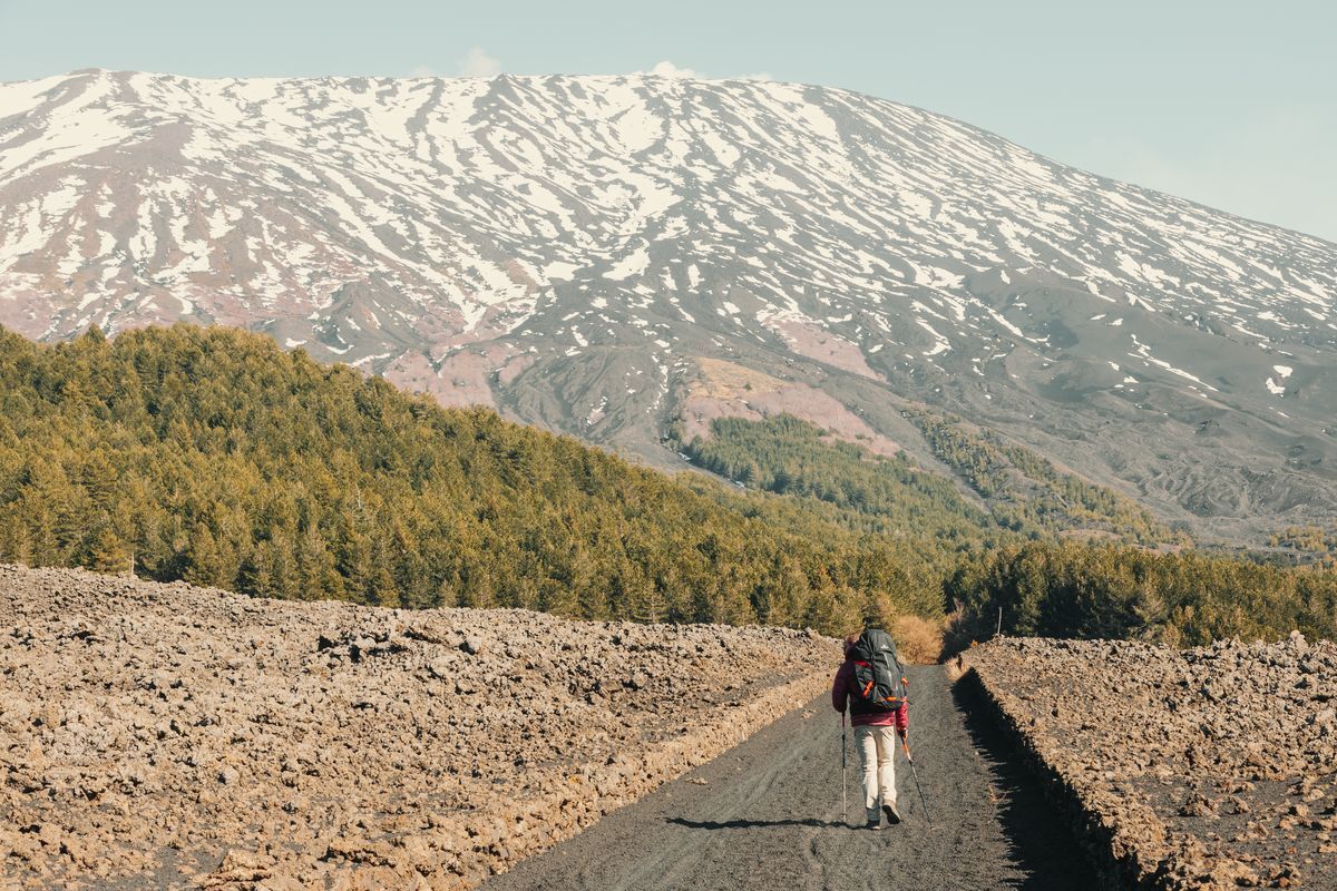
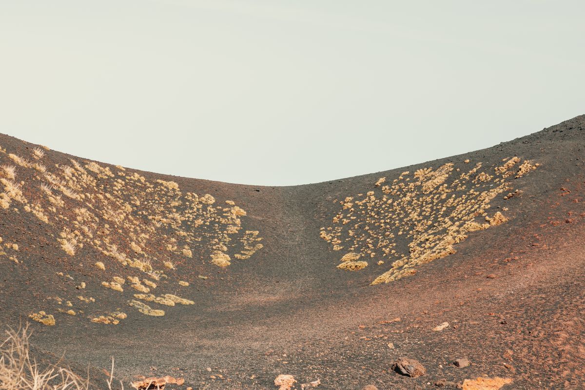
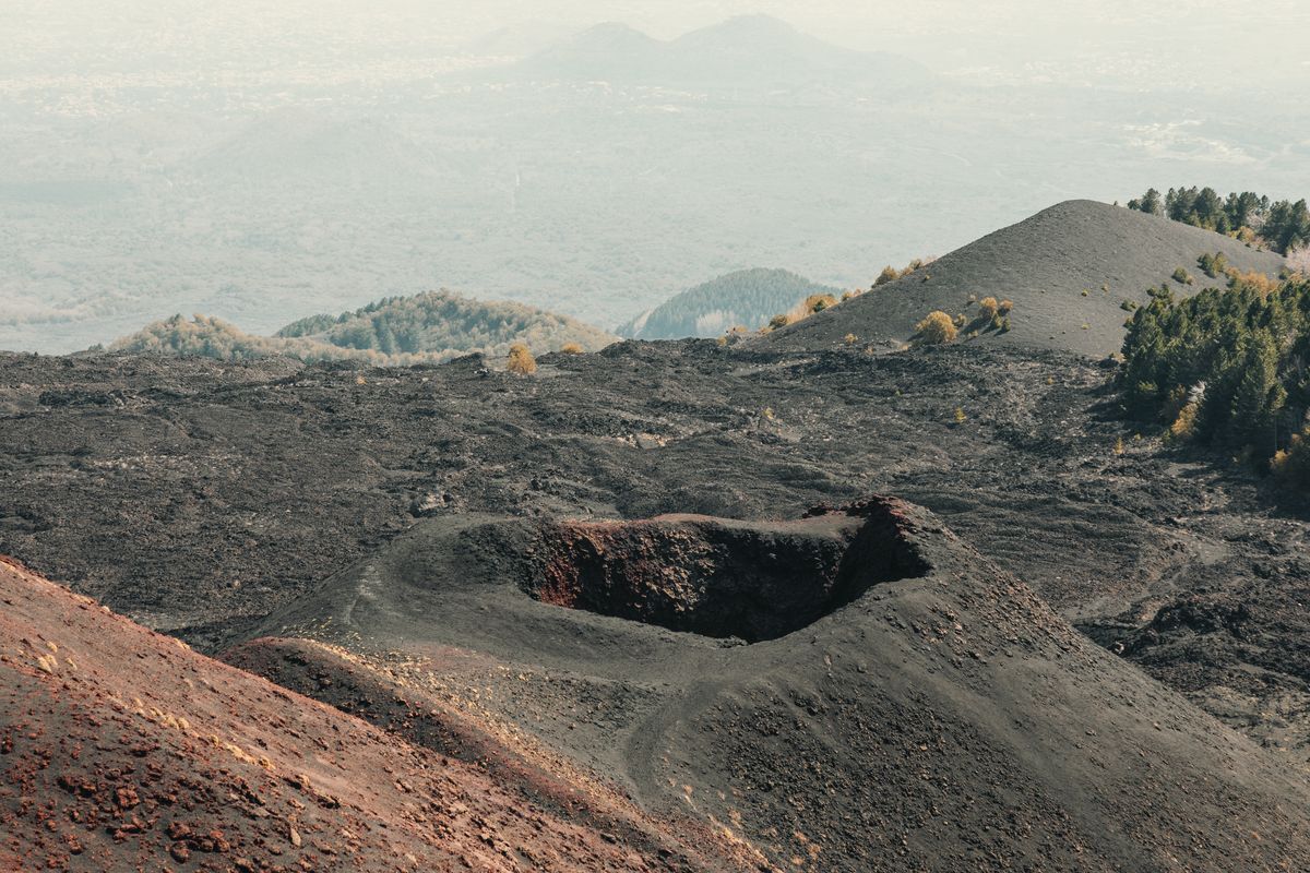
From the Monte Scavo Forest Bivouac, we start following the Altomontana Trail again in a southerly direction. The trail immediately climbs upwards, but always gently. In a short time, always walking with Etna on our left, we reach the Grotta di Monte Nunziata (also called Grotta delle Vanelle), a cavity created by the lava flow. After a long uphill stretch, we reach the Passo di Monte Palestra (1932 m), at the foot of the peak of the same name. This is the highest point of the entire Sentiero Italia CAI around Etna. From here, with a long descent, we continue until we reach the Giacomini refuge, then Piano Vetore where we find the asphalt again. A little further on, we cross Via Etna, which the trail cuts in several places, avoiding the hairpin bends. Always following the white and red marks with the “SI” sign, we start climbing again in the direction of the Sapienza refuge (1909 m), a true icon of Etna. Only the last stretch, about 400 meters, forces us to take a path on asphalt.
Ph. © Vito Delaurentis