Linea 7000” is a project that aims to show how our mountains and trails are easily accessible using public transport. The project, born from an idea by Gian Luca Gasca, promoted by the Italian Alpine Club and supported by Ferrino, focuses on the Sentiero Italia CAI route, the longest trek in the world that crosses the Alps, the Apennines and also the mountains of the two largest islands. A long itinerary that can become an opportunity for a conscious and low environmental impact discovery of our country. This new episode of Gian Luca's journey takes us to discover the Stelvio National Park, in Lombardy. Let's find out together how to reach the trails with public transport.
Getting to Stelvio National Park
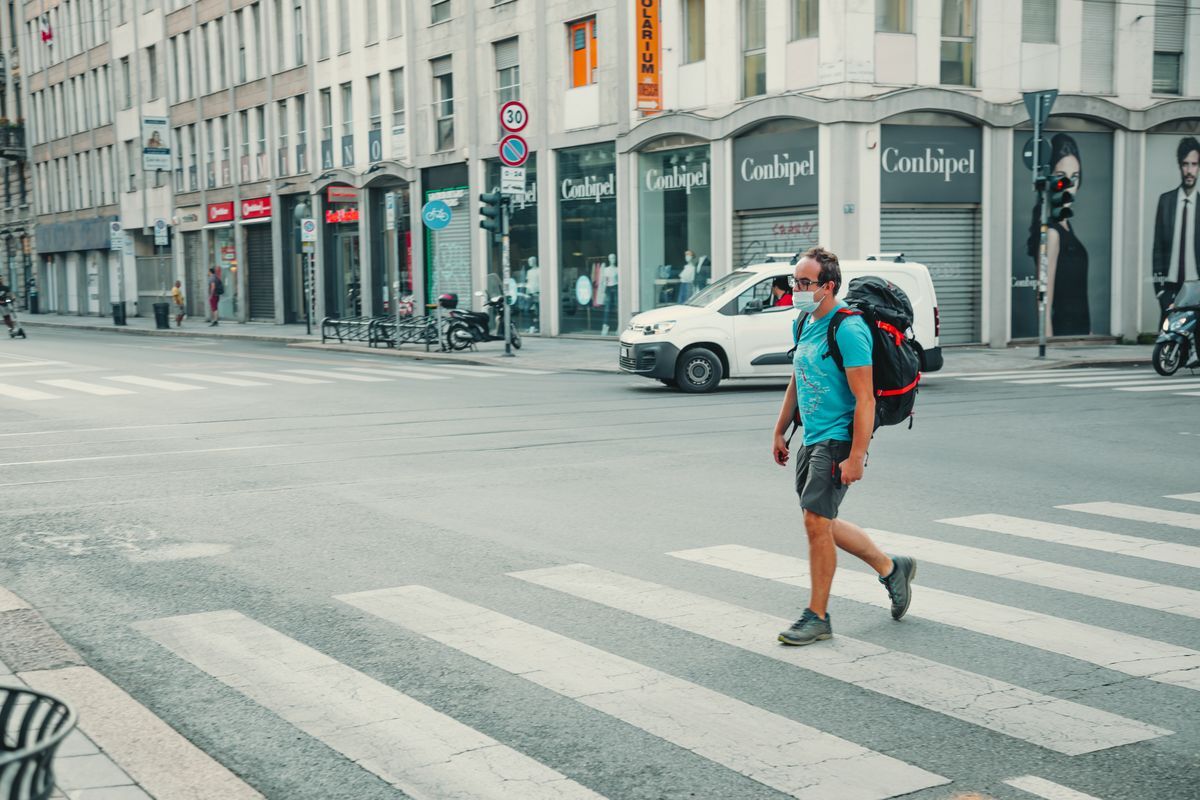
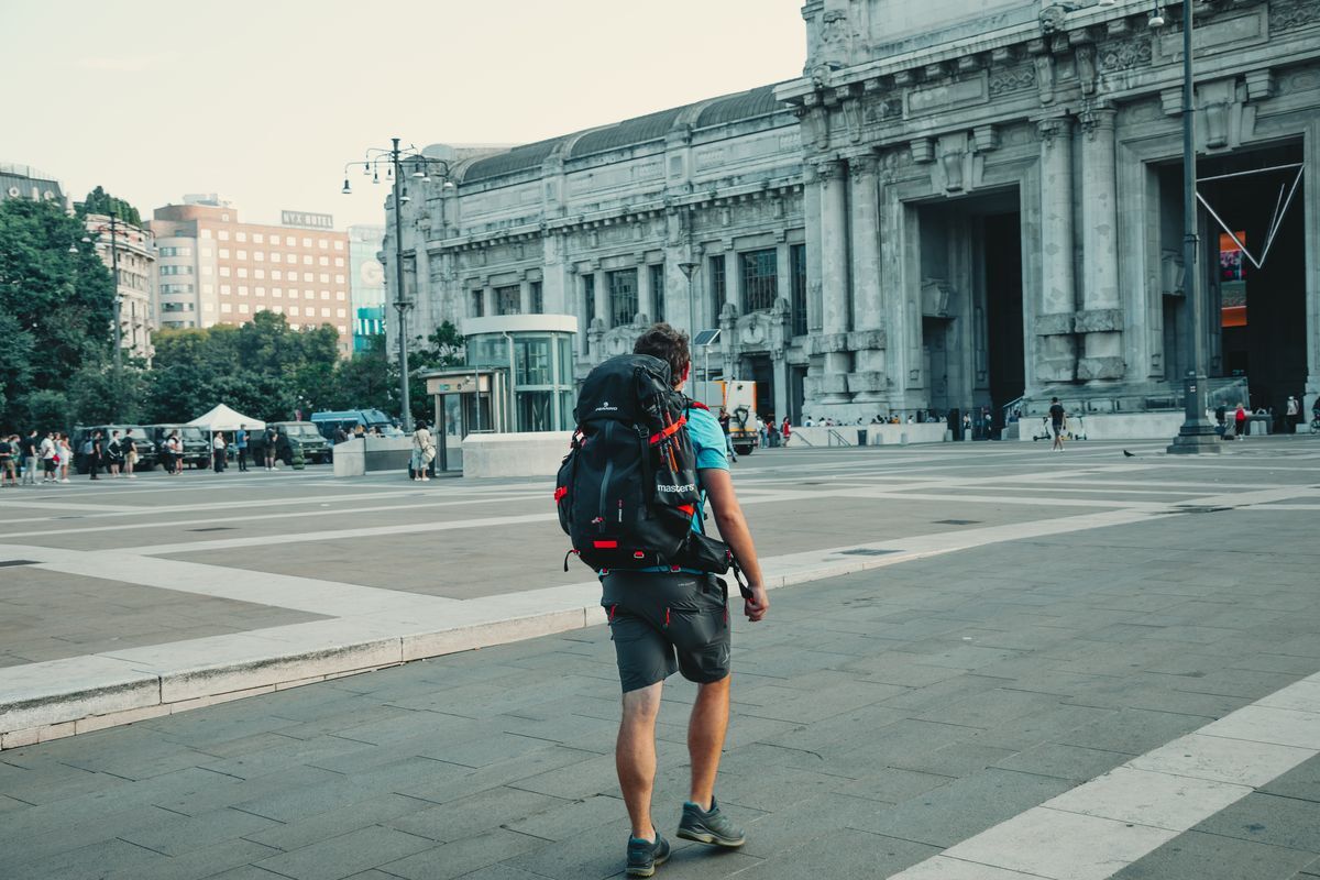
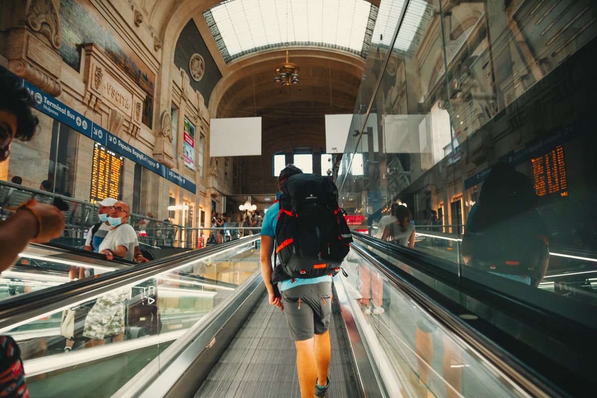
Reaching the Stelvio National Park is easy, although a bit long. The ideal starting point is Milan, the main city in northern Italy, perfectly connected thanks to high-speed trains and the airports of Milan Malpensa and Linate. From Milan Central Station, take a train to Tirano. There are frequent connections throughout the day and, although the journey may seem long (2 h 30 min), it is a very suggestive route that once you leave the metropolis runs alongside Lake Como before starting to climb towards Valtellina, offering splendid panoramic views of the heroic terraces, from which renowned mountain wines are born.
Towards the paths
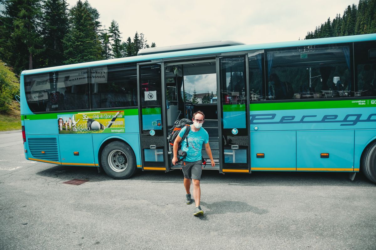
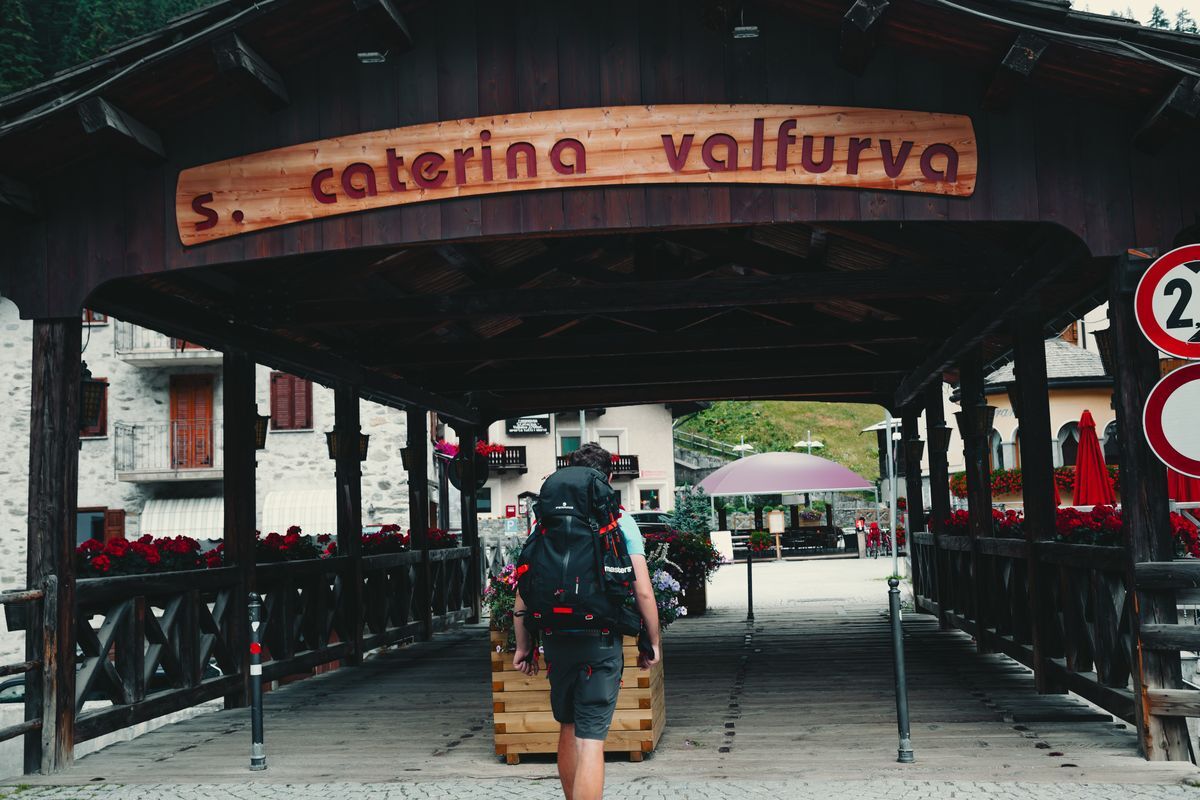
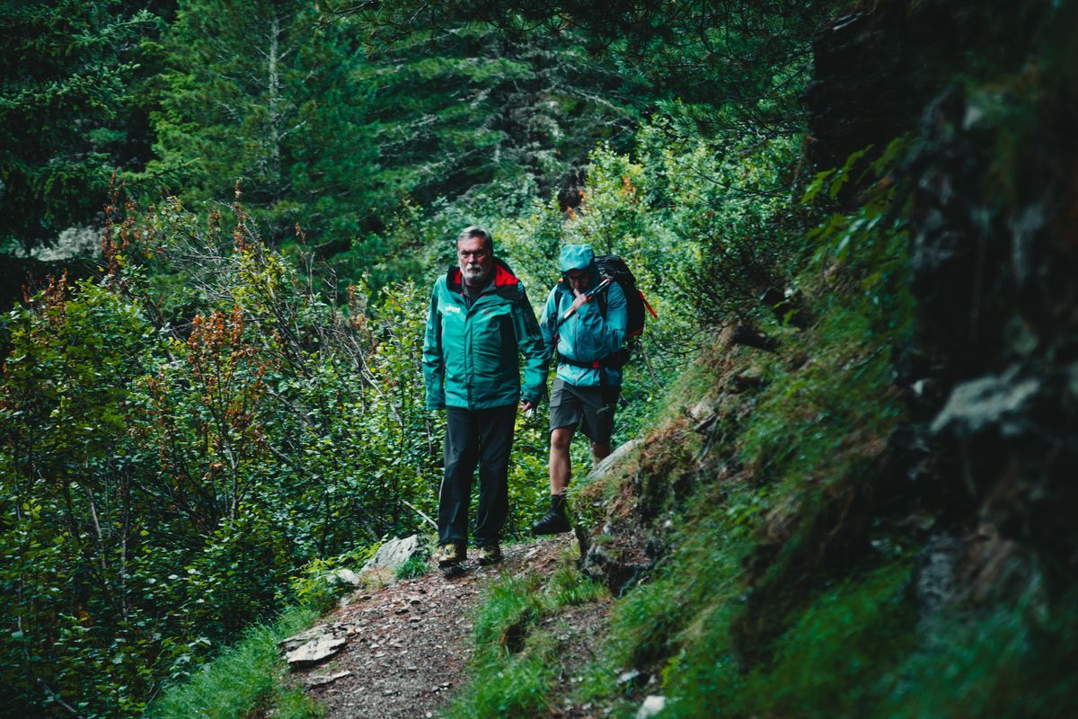
Once you reach Tirano, from where you can board the Bernina Red Train and set off to discover the Swiss mountains, you need to continue until you intercept the Sentiero Italia CAI at Passo Gavia. For this you transfer aboard a bus headed to Bormio, then towards Santa Caterina Valfurva. A town of mountaineers such as Achille Compagnoni and Marco Confortola. From here, to reach the pass, you can take the Gavia Express. A shuttle bus made available by the municipality that, from Monday to Friday, reaches the iconic hill allowing hikers and tourists to climb to altitude without crowding the pastures with cars. Once you get off the bus, you find yourself directly on the Sentiero Italia CAI.
Our stop
Gavia Pass – Santa Caterina Valfurva
Duration: 4 hours
Difficulty: E
Difference in altitude: 100 m
Signage: white and red stamps
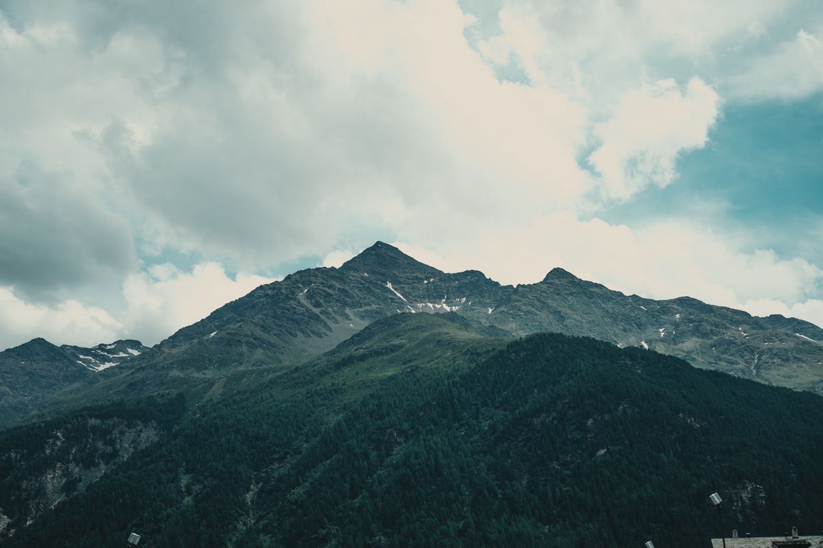
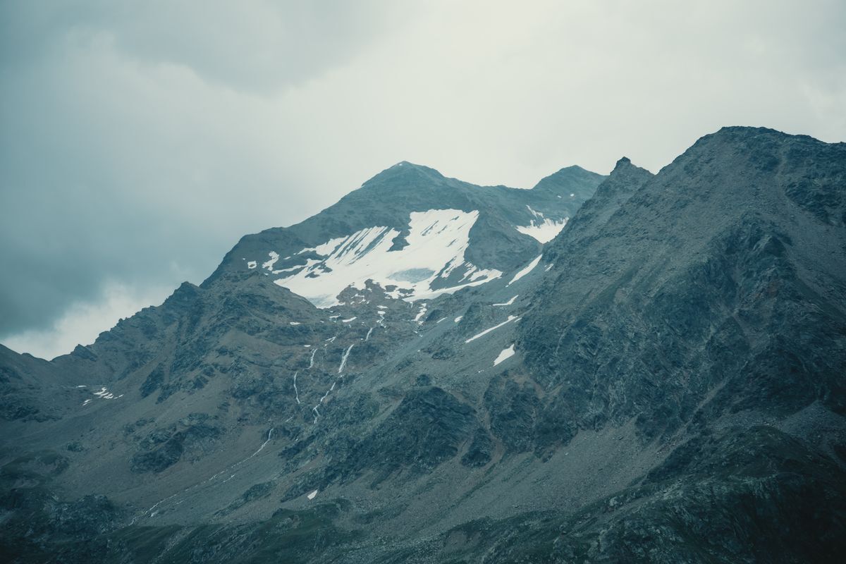
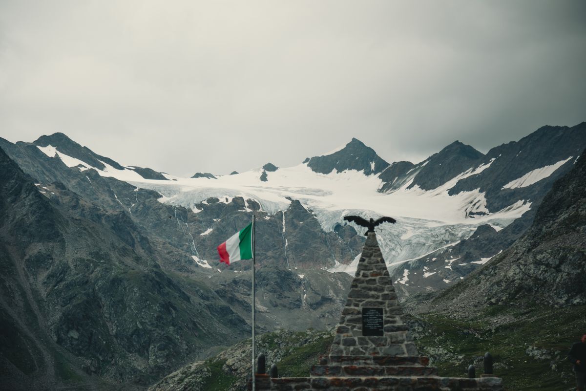
From the Gavia Pass, with flat and slightly downhill sections, the path begins to slope towards the north, remaining parallel to the road that climbs to the pass from Santa Caterina Valfurva. The itinerary is immediately fascinating thanks to the views that, to the right, allow you to observe the glaciers of the area such as the Sforzellina just above the pass. Further ahead you can see the large Dosegu glacier overlooked by Punta San Matteo where, during the First World War, the highest battle of the entire conflict was fought. In fact, we find ourselves passing through a territory deeply marked by the fighting of the Great War, whose wounds are still visible in the trenches that have remained as an everlasting memory and in the large barracks that you come across near the Berni refuge, a short distance from the pass.
War and climate change are the two constants that can be observed in this short path, almost always downhill. The glaciers are in fact compromised by the increase in temperature and, observing them carefully, it is possible to notice the ancient perimeters of these glacial masses.
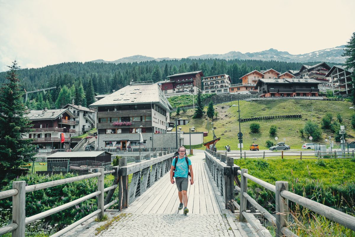
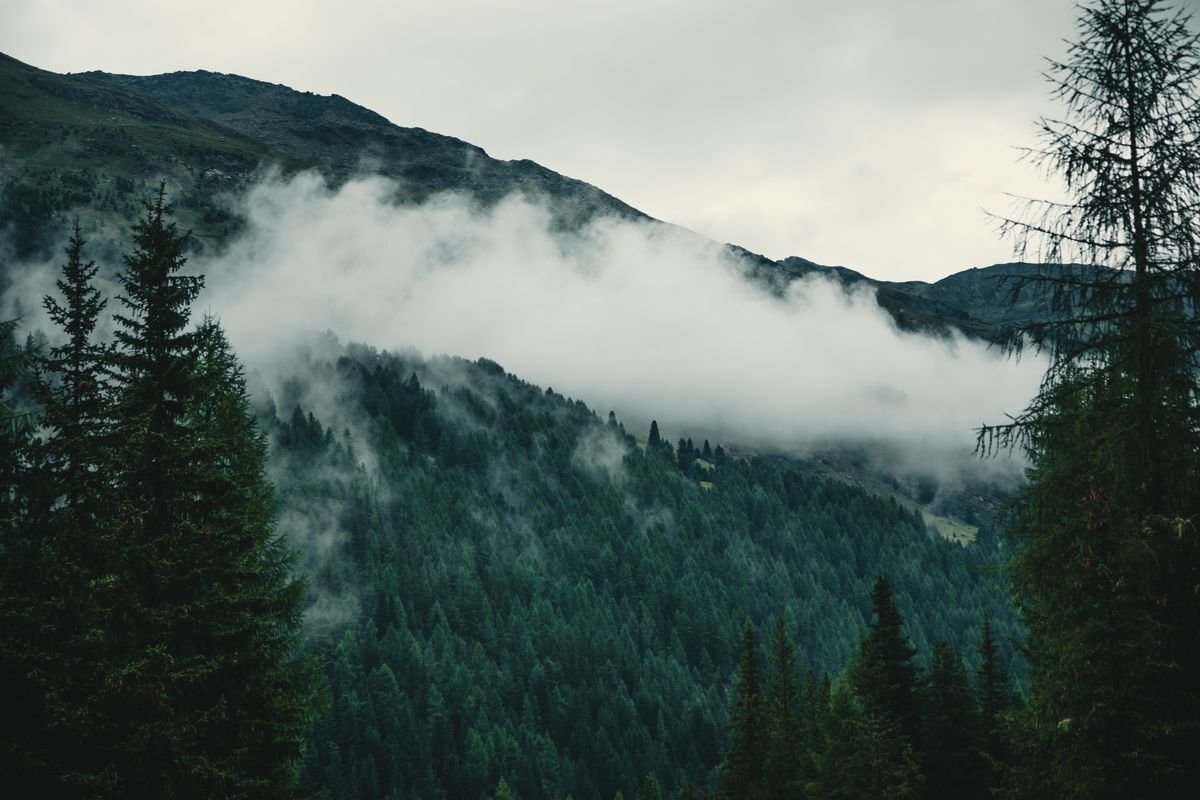
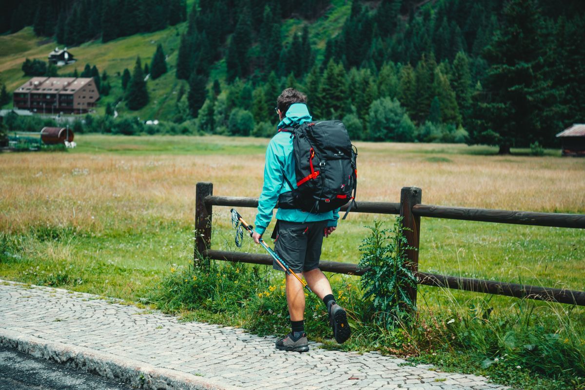
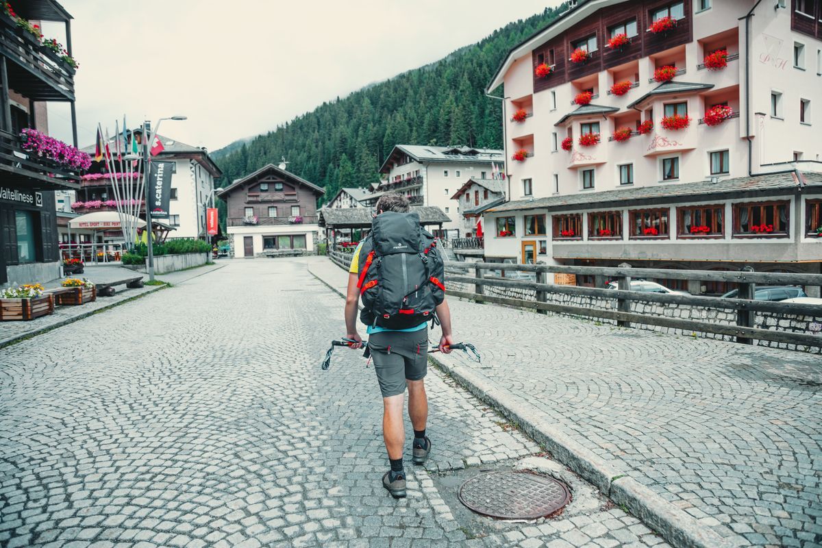
In a short time you reach Dosso Tresero, where you leave the Sentiero Italia CAI to begin the descent towards Santa Caterina Valfurva along a steep path (La Romantica) on the left that enters the cool woods. With continuous hairpin bends you quickly lose the difference in altitude until you reach the Gavia Torrent which you cross via a comfortable bridge and then continue towards the town centre a few minutes away.
From Santa Caterina, to return to the city, follow the same itinerary as the outward journey.