“Linea 7000” is a project that aims to show how our mountains and trails are easily accessible using public transport. The project, born from an idea by Gian Luca Gasca and promoted by the Italian Alpine Club, focuses on the Sentiero Italia CAI route, the longest trek in the world that crosses the Alps, the Apennines and also the mountains of the two largest islands. A long itinerary that can become an opportunity for a conscious and low environmental impact discovery of our country. In this episode Gian Luca takes us to discover the Casentinesi Forests National Park, on the watershed between Tuscany and Emilia Romagna. Let's find out together how to reach the trails with public transport.
Reaching the Casentinesi Forests National Park
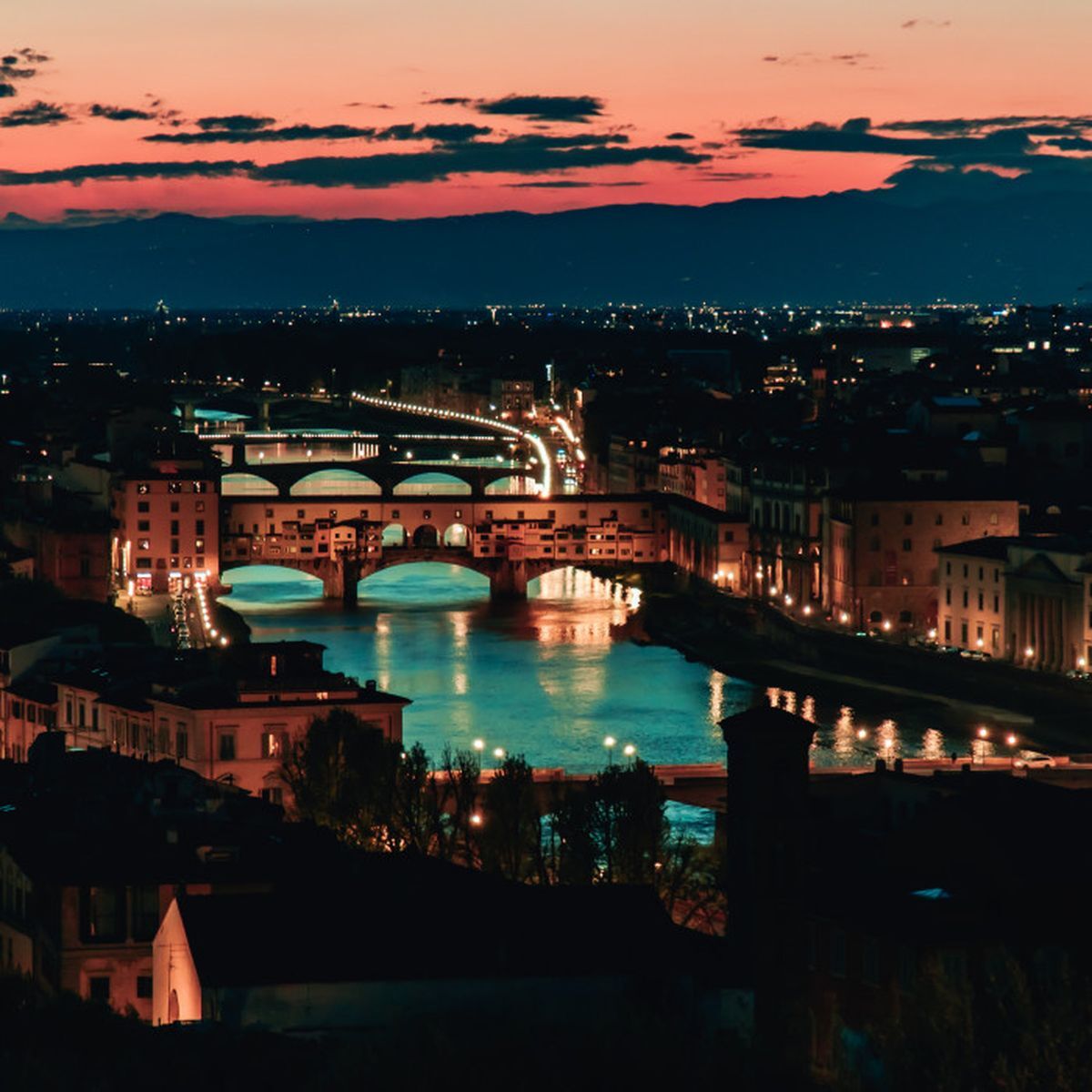
The easiest way to reach the Casentinesi Forests is to reach Florence. Florence is an internationally renowned city of art and is easily reachable thanks to the high-speed trains that depart from the main Italian cities (Milan, Rome). The closest airport is Bologna, from which it takes just one hour by train to reach the city.
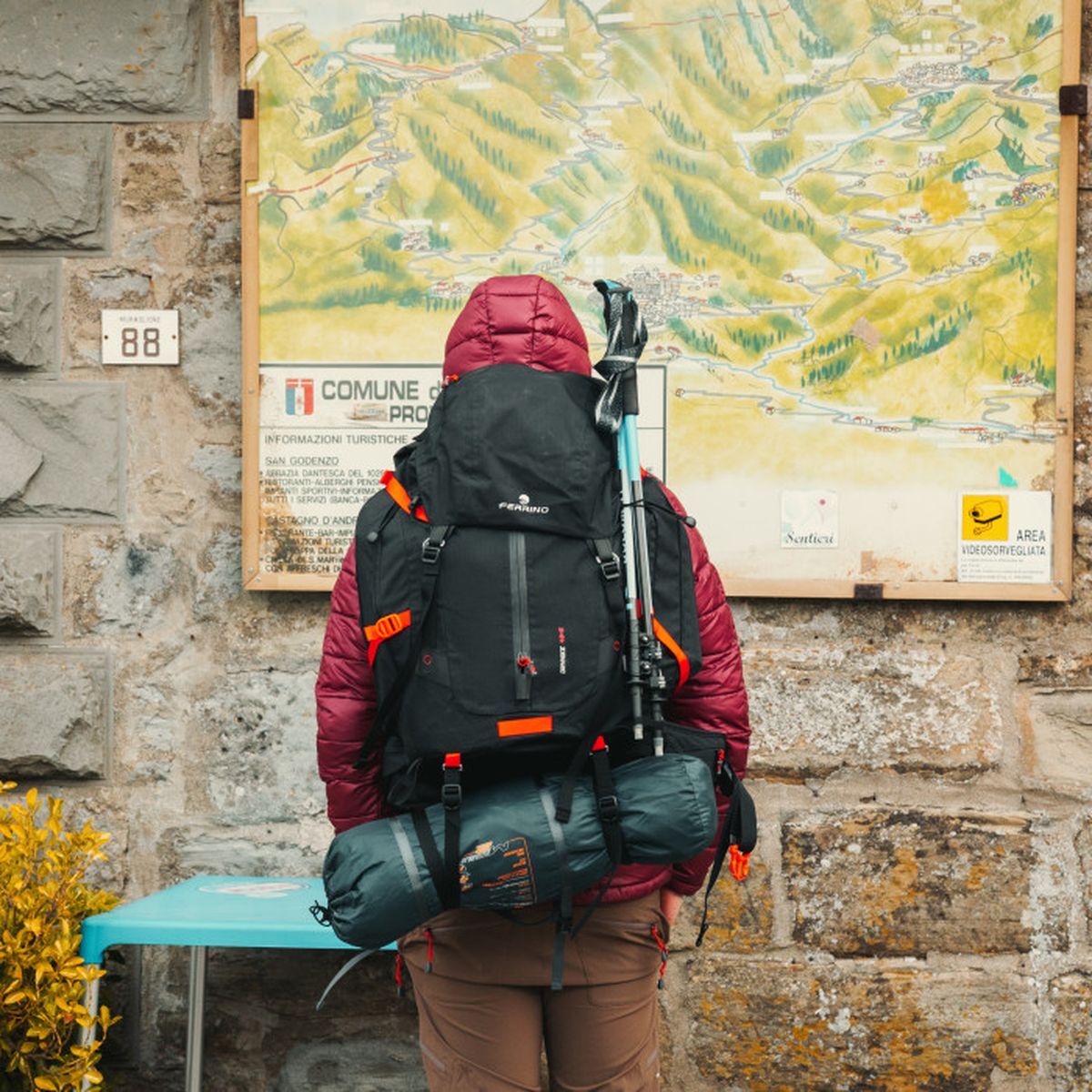
From Monday to Friday, with different times available during the day, direct buses leave from the Florence bus station towards the Muraglione Pass. There are not many buses, but the morning schedules coincide with the needs of walkers, allowing you to be at the Pass no later than 8 (Line 322 – Sitabus). Once you get off at the Muraglione Pass stop, you find yourself already along the CAI Sentiero Italia route, on the watershed between Tuscany and Emilia Romagna.
Our stages
Muraglione Pass – Calla Pass
Length: 15.11 km
Difficulty: E
Difference in altitude: 830 m
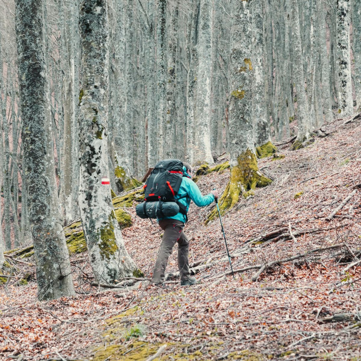
Signage: white and red stamps
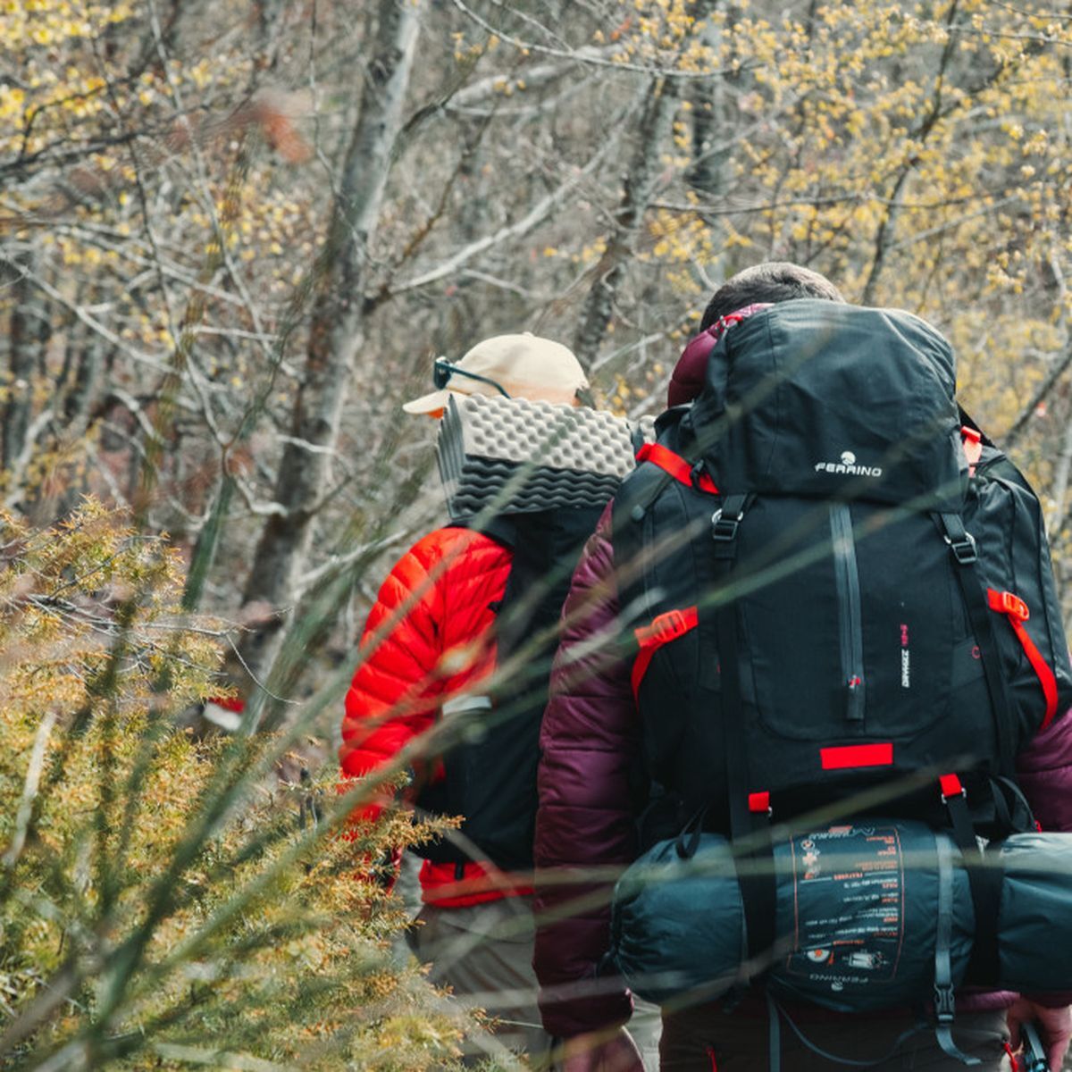
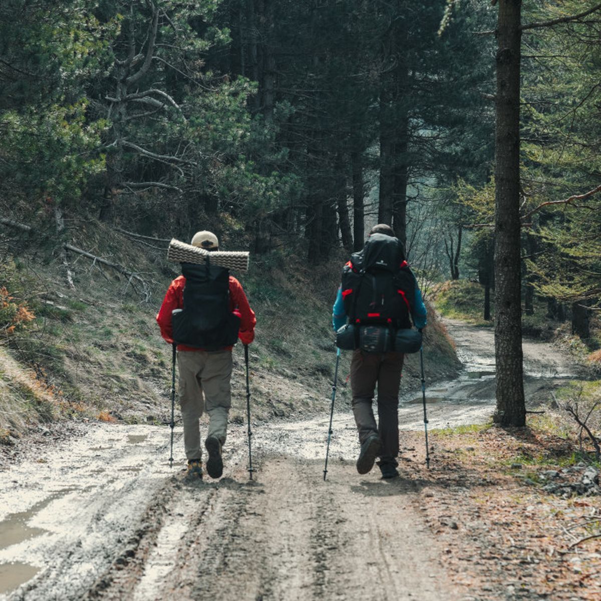
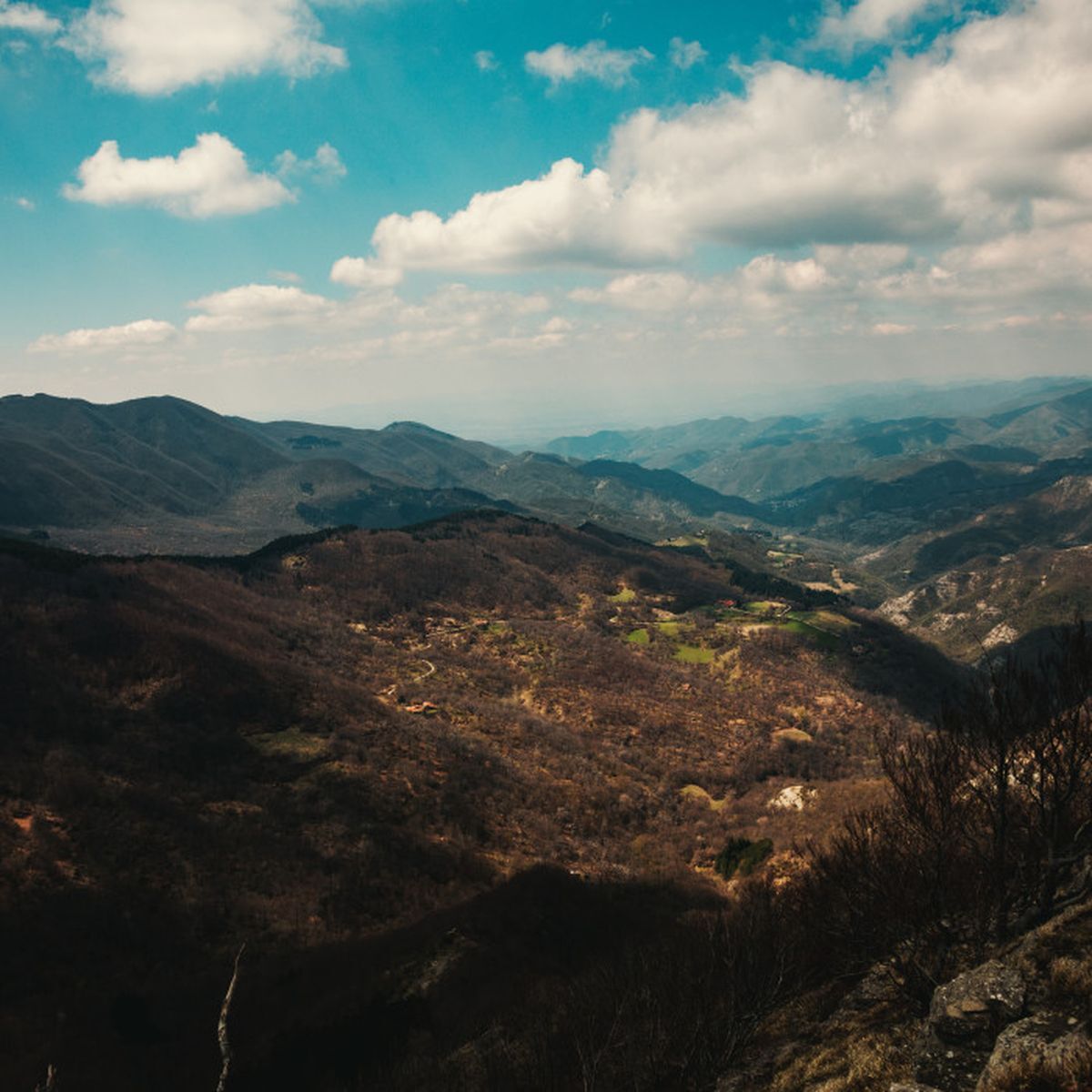
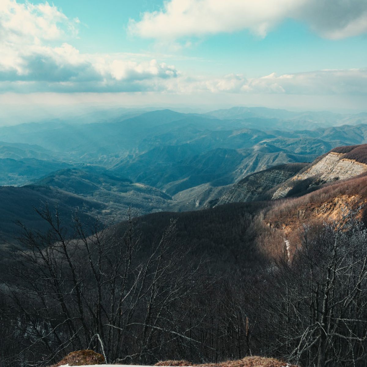
From the Muraglione Pass, this stage, of medium length and already challenging altitude, follows the jagged Apennine ridge for a good part, accompanying us south. The route is almost always in the woods, in a continuous up and down on a well-marked trail. Being on the watershed, there is no lack of wind, whipping from the Emilian hinterland towards the Tuscan coast. For this reason, where the slope of the slope becomes less challenging, we often abandon the ridge path to walk a few meters lower, regaining calm. Towards the middle of the stage we come across the Piancavalli Pass, where it is possible to stop for the night or leave the path, from which we start climbing again to reach the Calla Pass, with its 1296 meters the highest pass of the Tuscan-Romagnolo Apennines, which connects Florence with Forlì.
The Calla Pass – Badia Prataglia
Length: 17.62 km
Difficulty: E
Difference in altitude: 411 m
Signage: white and red stamps
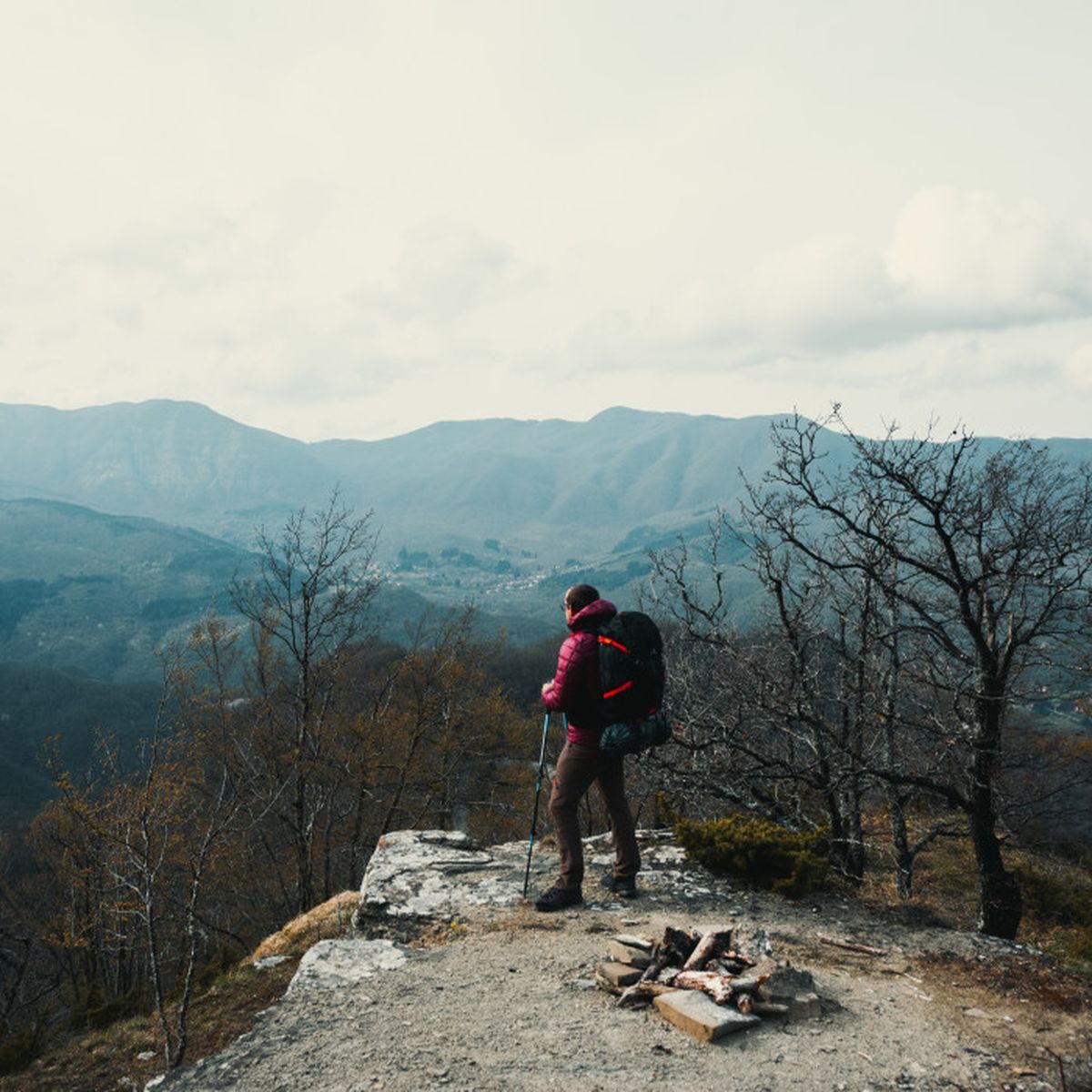
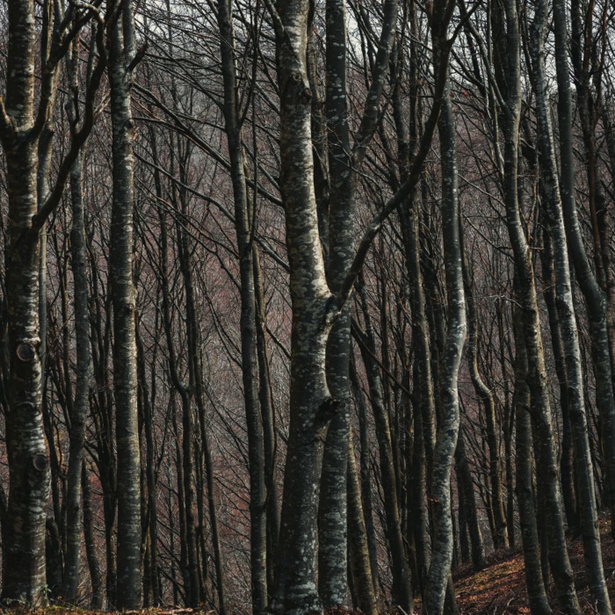
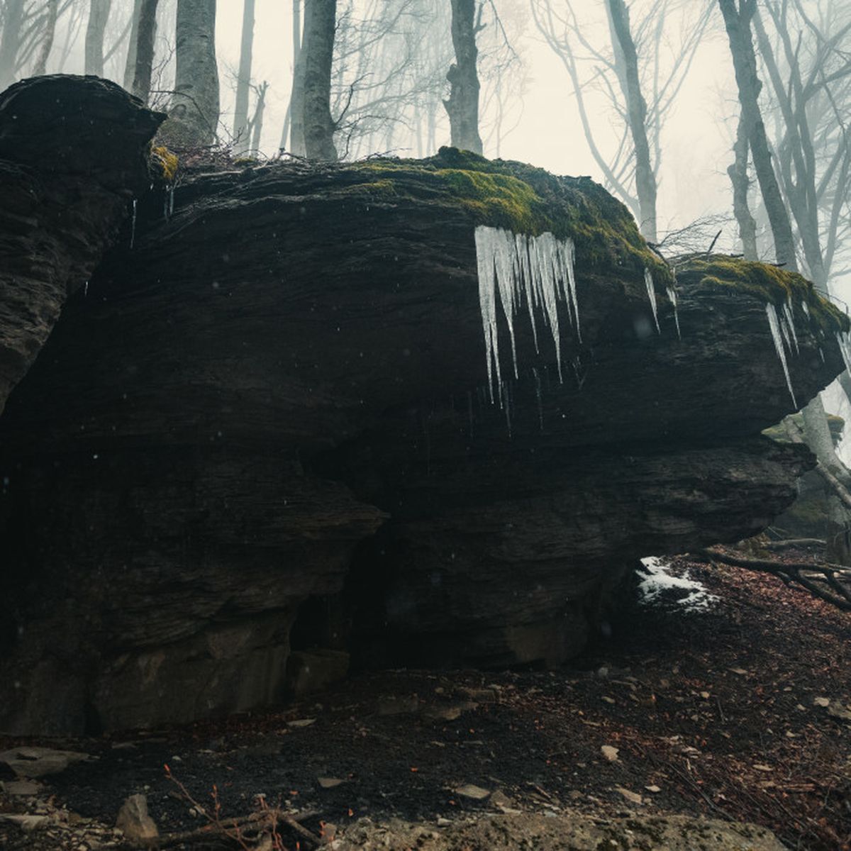
From the main road of Passo la Calla, looking south, you start to follow a wide dirt road in the woods that in a constant descent immerses you more and more in the thick of the trees. After a while the path starts to climb and the wide mule track turns into an easy path. This way you reach Poggio Scali at 1520 meters above sea level. From here the walk proceeds calmly in the woods touching, every now and then, the border crest and then descends again to look for a passage less exposed to the strong wind of the ridge. During the walk in some places you graze the borders of the integral reserve of Sasso Fratino. A portion of the park where man is not allowed, except for reasons of study, within which nature proceeds according to its rhythms without external interference. The practical demonstration that forests do not need man to survive. It is fascinating to walk on the edge of an area "off limits" to our passage, where we are not masters of what happens beyond.
The last part of the walk is characterized by a detour that leads to the nearby Eremo di Camaldoli. The detour is short and highly recommended for the beauty of the place and for the importance of the history that unites the hermitage to the local history. Beyond the hermitage the walk continues downhill until reaching Badia Prataglia, home of the Casentinesi Forests National Park and its main access gate. The park's visitor center is worth a stop, before taking the road home, to observe some trunks of surprising size.
For the return
From Badia Prataglia the return to Florence is not very easy, but with a little organization it presents no problems. From Monday to Friday there are direct routes to the regional capital, even if not very frequent during the day. Alternatively there are more frequent routes that allow you to reach Poppi and the train station from which you can take a regional train to Florence. The advice is to check in advance the routes of the public transport managed by Etruria Mobilità.