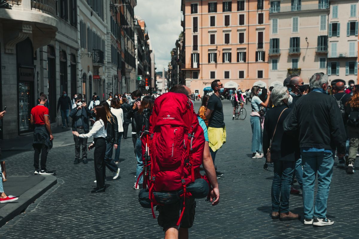
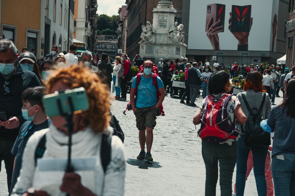
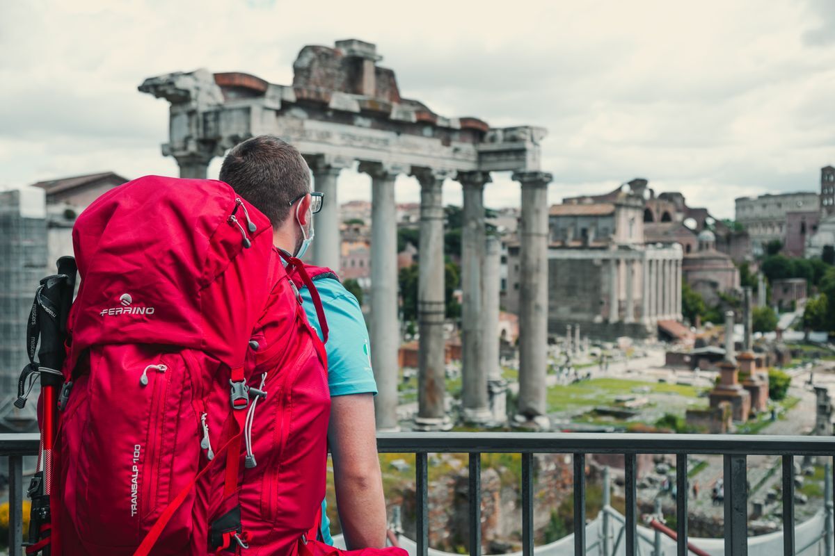
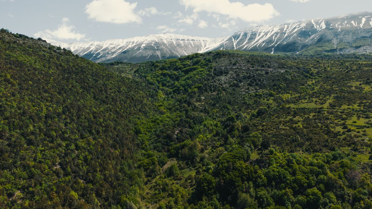
“Linea 7000” is a project that aims to show how our mountains and trails are easily accessible using public transport. The project, born from an idea by Gian Luca Gasca, promoted by the Italian Alpine Club and supported by Ferrino, focuses on the Sentiero Italia CAI route, the longest trek in the world that crosses the Alps, the Apennines and also the mountains of the two largest islands. A long itinerary that can become an opportunity for a conscious and low environmental impact discovery of our country. In this episode of the journey Gian Luca takes us to discover the Maiella National Park and the Gran Sasso National Park. Let's find out together how to reach the trails with public transport.
Reaching the Maiella
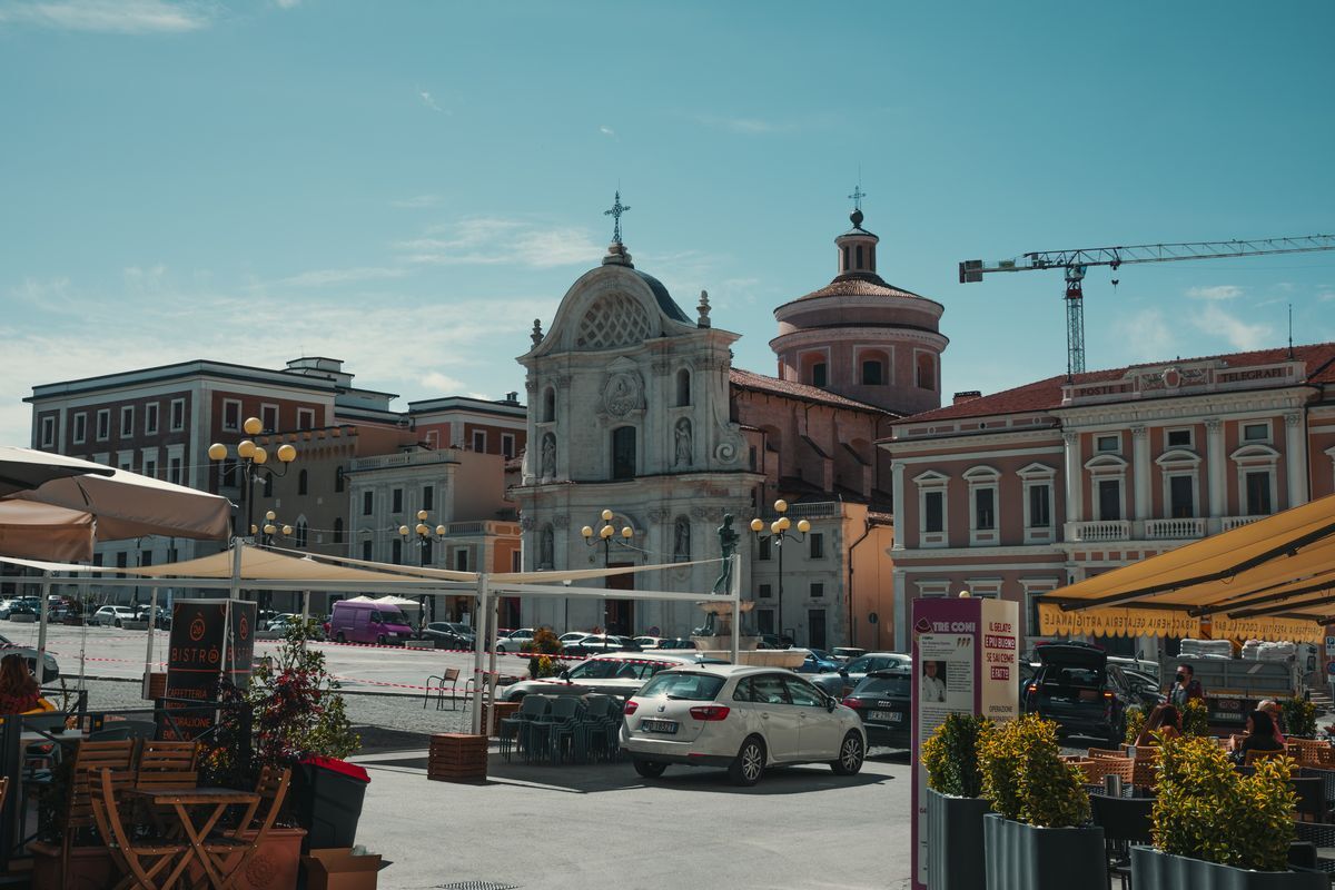
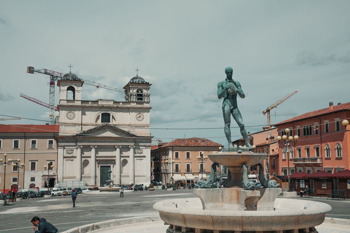
The gateway to the Maiella National Park is Sulmona, a town that, in addition to being a starting point for exploring the park's trails, is worth a visit to its historic center and the nearby Hermitage of Sant'Onofrio al Morrone.
Sulmona is easily reachable both from Rome, thanks to frequent connections with direct regional trains (2 h 30 min), and from Pescara, on the Abruzzo coast. Pescara is easily reachable thanks to the high speed, therefore by train (1 h 30 min).
Towards the paths of Maiella
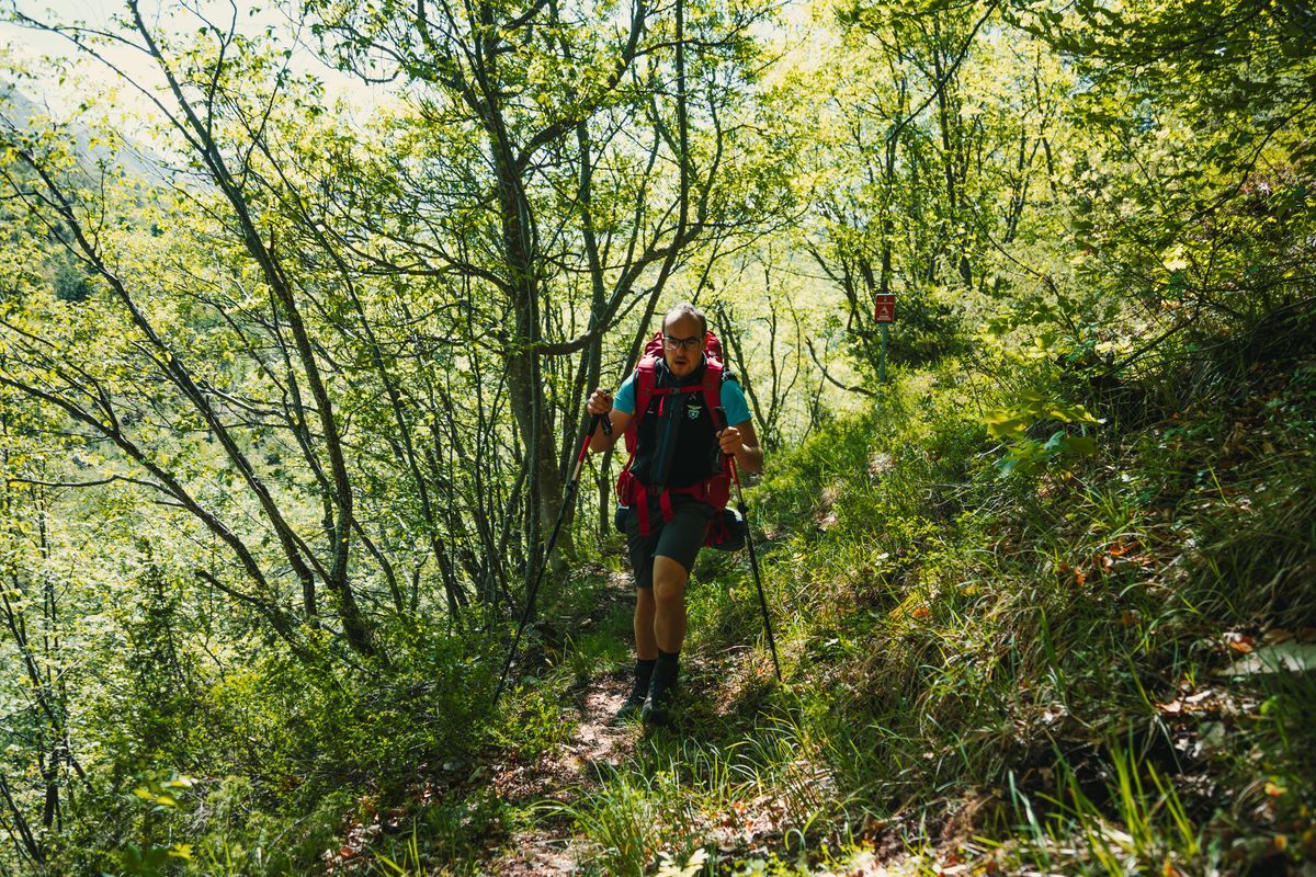
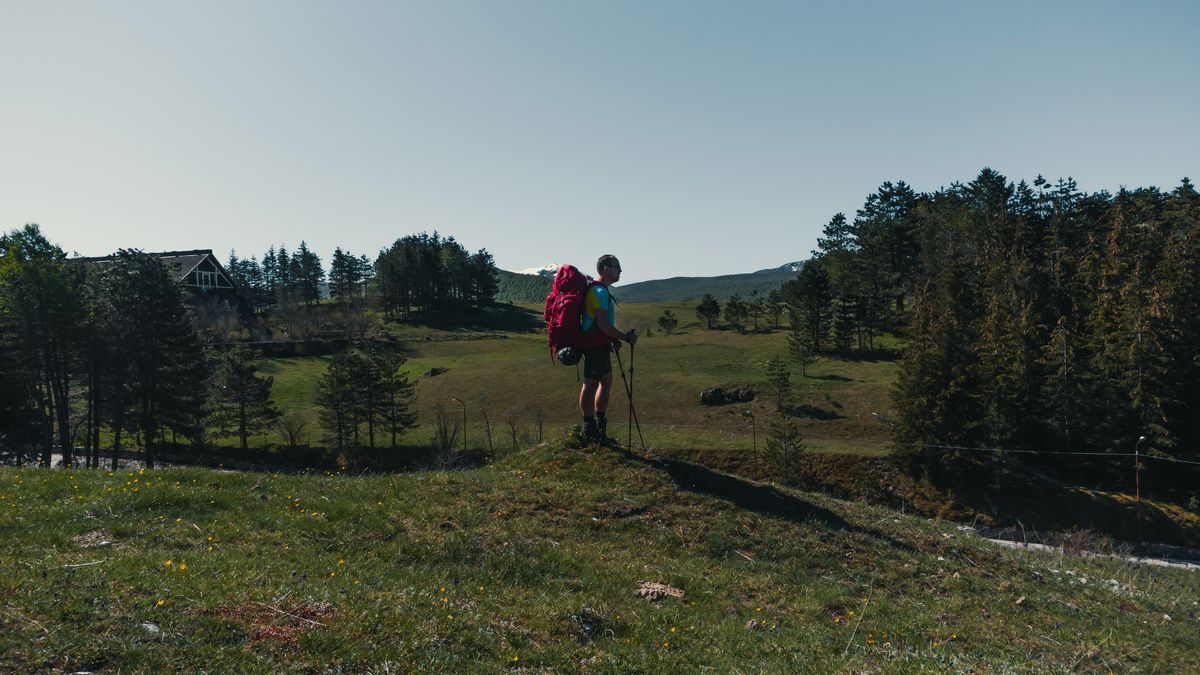
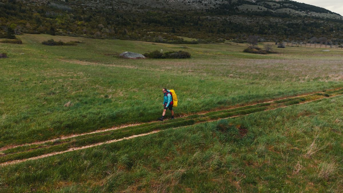
It takes just 45 minutes to reach, from Sulmona, the start of the Sentiero Italia CAI. Frequent buses, every hour, reach Campo di Giove, where you can start walking to discover the Maiella.
Our stop
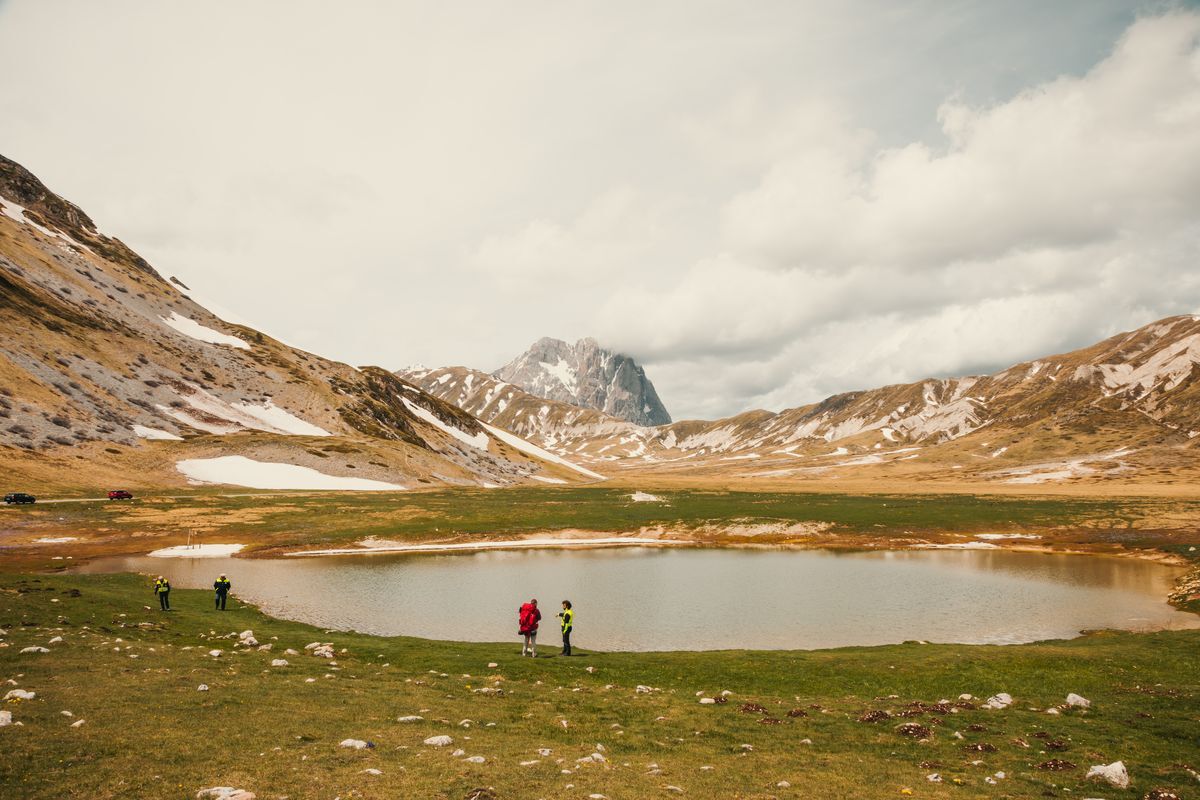
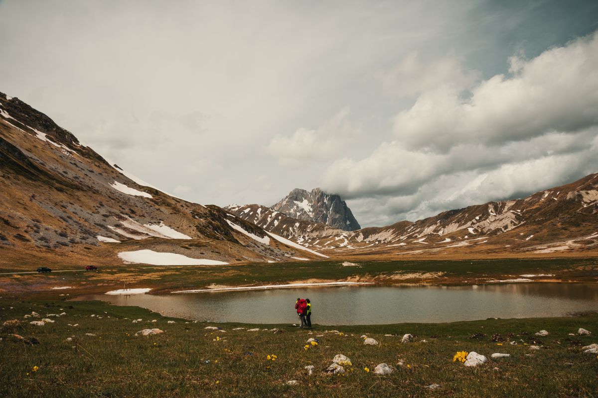
Field of Jupiter - Roccaramanico
Length: 18.88 km
Difficulty: EE
Difference in altitude: 1201 m
Signage: white and red stamps marked “YES”
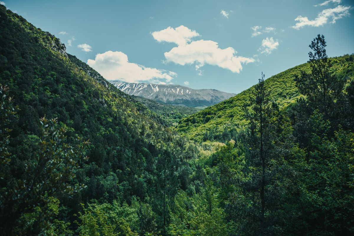
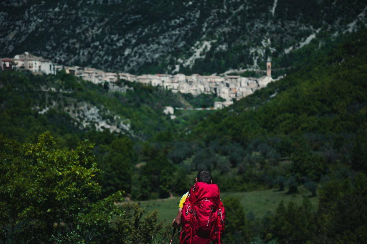
Leaving the center of Campo di Giove the path begins to follow, first downhill, then flat with rare ups and downs, a pleasant valley. For a good part of the first stretch it is possible to admire, on the right, the Maiella massif which then disappears from view near the town of Pacentro. If up to this point the path has always remained flat, we finally have the opportunity to tackle a beautiful and challenging climb that in a few minutes reaches the asphalt and the town center. From the small village it is possible to return to Sulmona with the hourly buses that in a few minutes cover the 7 kilometers that separate the two locations. Alternatively, after having explored the alleys of the ancient village, you can continue along the stage of the path that bends sharply towards the east cutting the hairpin bends of the Strada Statale 487 of Caramanico Terme which it then runs alongside for a short stretch. The path then bends to the north-east, runs alongside the rocky cliffs of Morrone and reaches Passo San Leonardo. We are therefore at the foot of Monte Amaro which, with its 2793 m, represents the maximum elevation of the massif. After leaving the pass, the path begins to slope gently until reaching the characteristic village of Roccaramanico. There are no buses from Roccaramanico, but continuing to descend along the Q7 path you reach Caramanico Terme from which regular buses leave that reach Sulmona in an hour (Consult the timetables on the Trasporto Unico Abruzzese website).
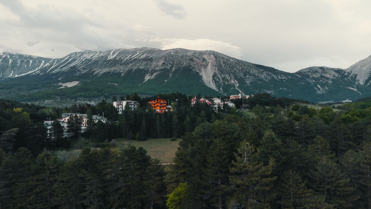
Towards the Gran Sasso
Back in Sulmona, in just over an hour by bus you reach Ofena (two changes are necessary in Bussi sul Tirino and Capestrano). From here, the stages of the Sentiero Italia CAI start, which go into the discovery of the Gran Sasso National Park, culminating with the dolomitic view of the highest mountain in the Apennines.
Our stages
Ofena – Saint Stephen of Sessanio
Length: 19.2 km
Difficulty: E
Difference in altitude: 947 m
Signage: white and red stamps
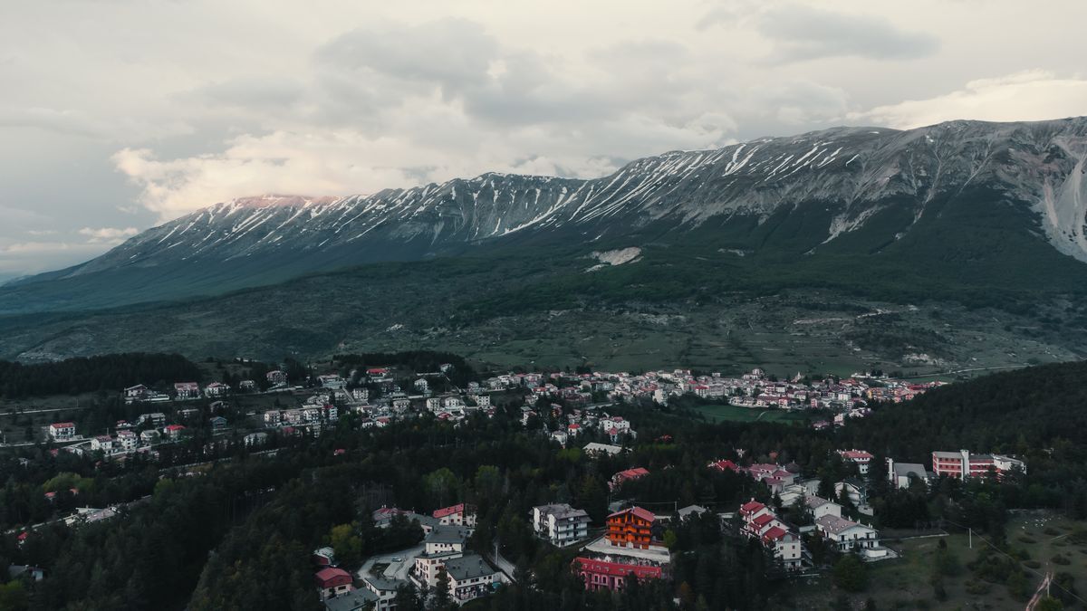
You leave Ofena along a stretch of the Regional Road 602 in a southerly direction, until you meet the path on the right that goes up east to Castelvecchio Calvisio. After this first part the path becomes softer and continues gently. From Castelvecchio we recommend making a small detour to the CAI Italia path to reach Rocca Calascio and discover one of the most famous monuments of Abruzzo and then retrace your steps and take the dirt road that halfway up the hill, with Rocca Calascio high up on the right, leads to the foot of the beautiful village of Santo Stefano di Sessanio. Here a couple of hairpin bends lead quickly uphill towards the town center, the finish line of the stage.
Santo Stefano di Sessanio – Duca degli Abruzzi refuge
Length: 18.5 km
Difficulty: EE
Difference in altitude: 1247 m
Signage: white and red stamps
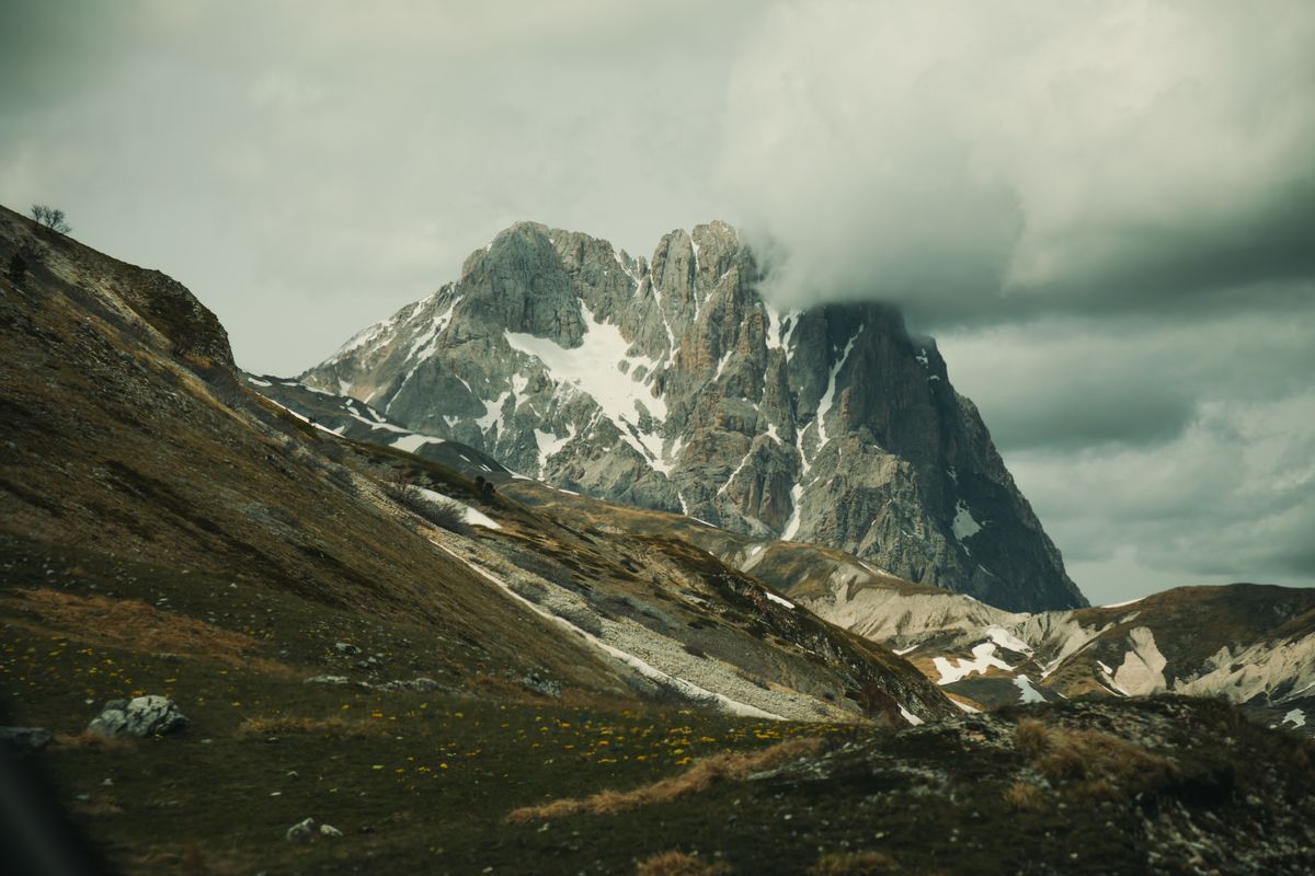
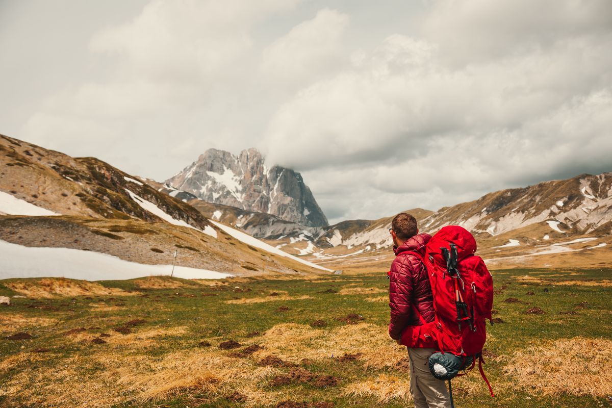
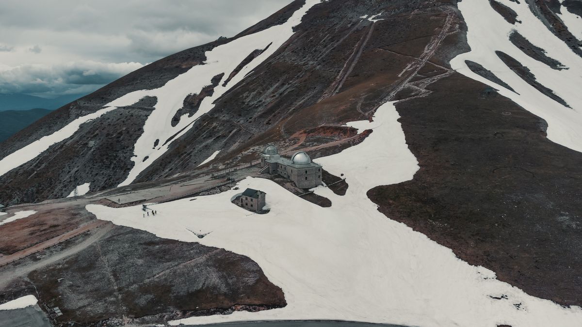
With the stage that reaches the Duca degli Abruzzi refuge, you enter the true heart of the park, until you reach the rocky Gran Sasso d'Italia, the highest peak in the Apennines. After passing the few houses that make up Santo Stefano di Sessanio, the path runs north with a gentle climb, insinuating itself between the peaks of Monte Cappellone, on the left, Monte tre Colli, on the right, and Monte Cecco, further ahead. The route then turns west, touches Campo delle Ginestre and grazes Monte Mesola, on the left. Once past this, the scenery opens up and the landscapes become vast, overlooking the famous Campo Imperatore plain where the sky is almost Patagonian. Continuing along a small valley, you reach the Strada Statale 17 bis in front of the Gran Sasso. You then find yourself at the Campo Imperatore hotel, from where the steep climb begins that reaches the Duca degli Abruzzi refuge, the end of the stage, already visible from the plain.
For the return
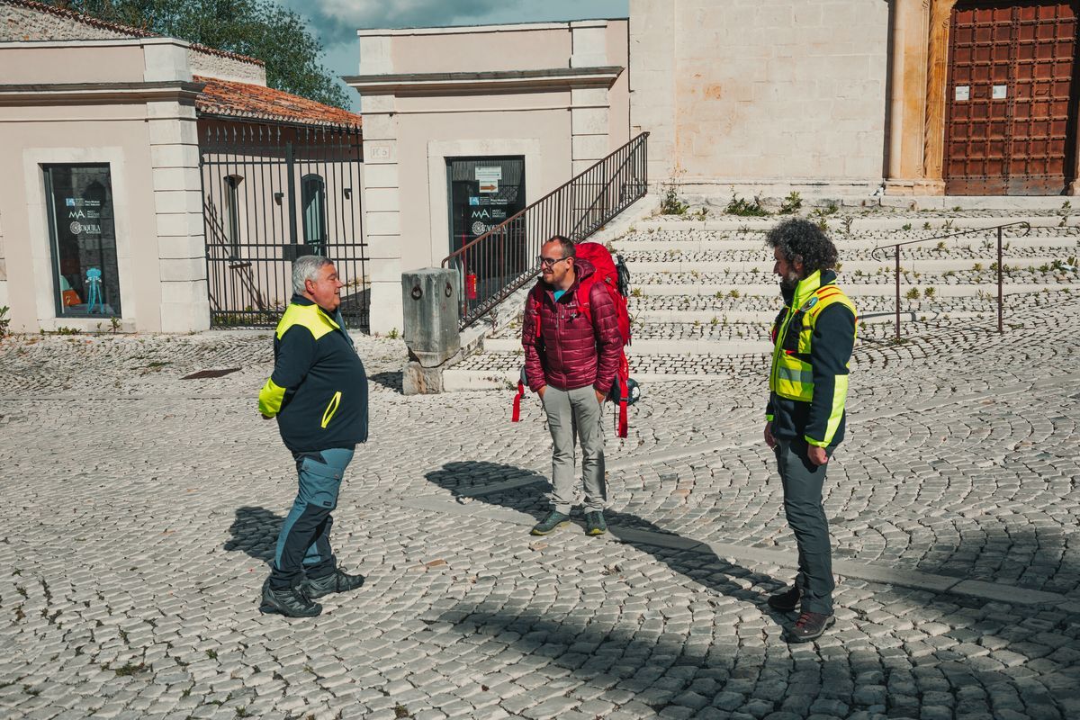
From the Duca degli Abruzzi refuge we return towards Campo Imperatore, where the mountain station of the Gran Sasso cableway is located. From here, simply take the cableway, in service every summer day from 7:30 to 19 with trips every 20 minutes (for any information contact the management body). From the valley arrival of the cableway, thanks to the urban service, it is possible to reach the center of L'Aquila, from which regular regional trains depart for Rome and Pescara.